Photos and the City

Slow travel & photography

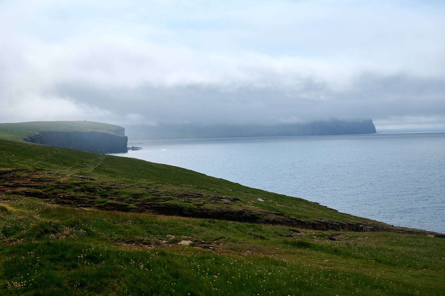
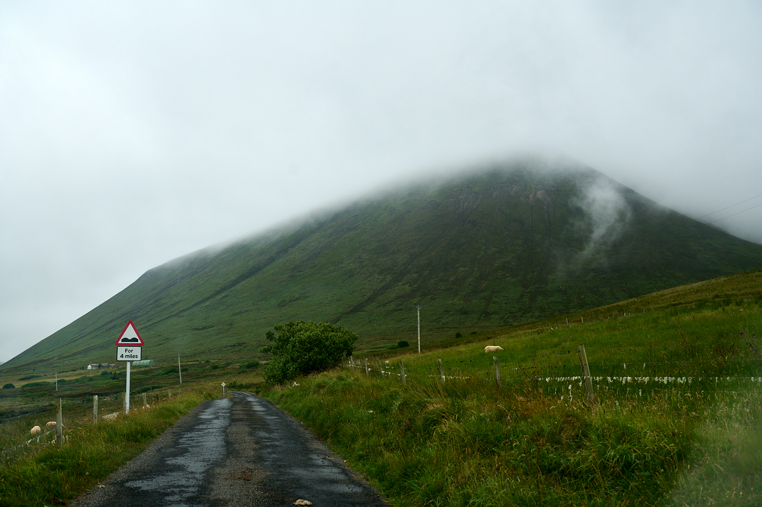
Hoy – the island that always had a cloud on top. I was late booking a ferry and only got a return in the afternoon, so I didn´t have that much time to explore it and just have to come back another time to walk to the Old Man of Hoy and also visit the Scapa Flow Museum, which was under renovation.

Today around 400 people live on Hoy but during WW2 13.000 people were stationed on the island. There are still a lot of reminders of that time. But let´s start at the beginning.

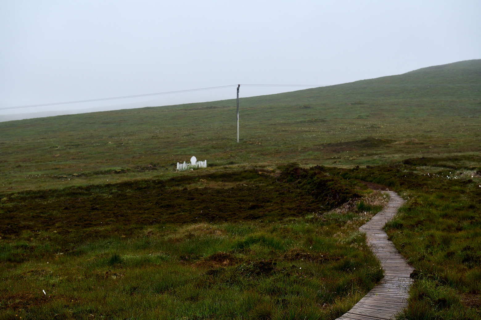
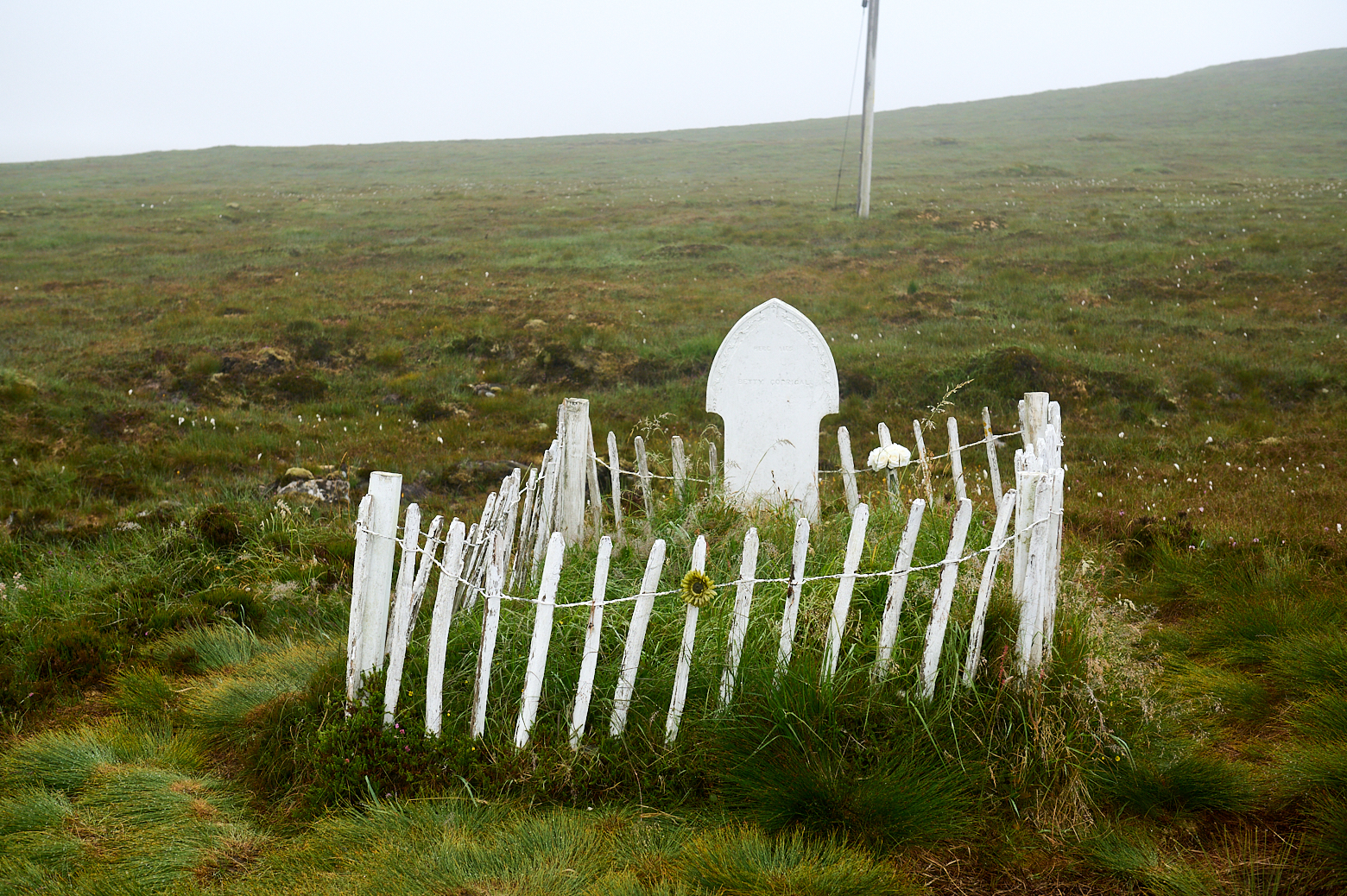
Betty Corrigan’s Grave

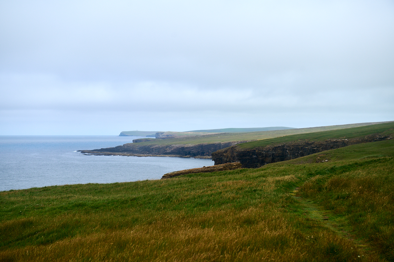
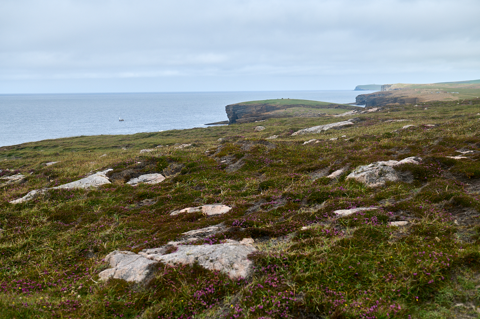
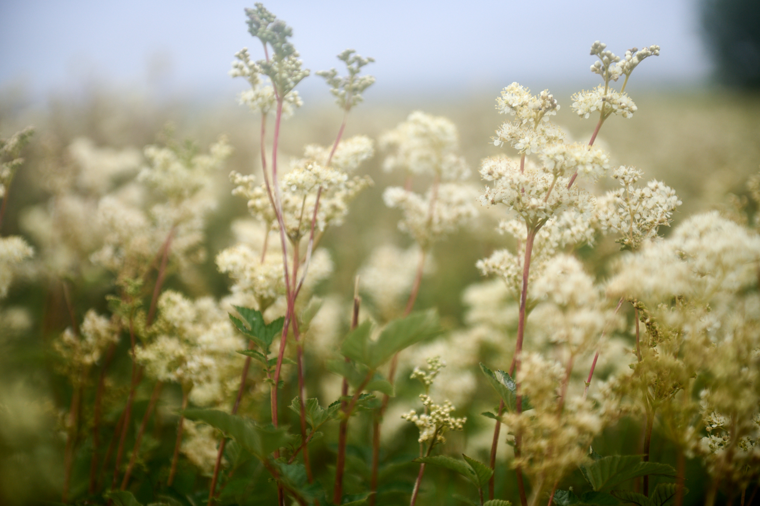
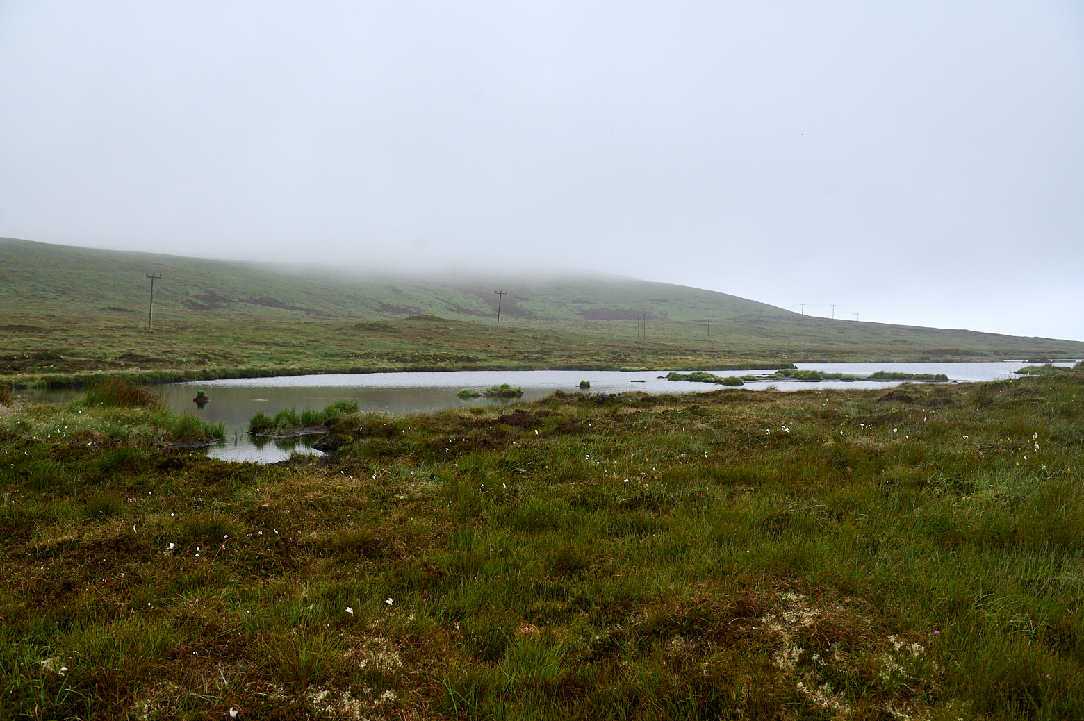
While on the way to Rackwick beach I stopped at this little grave of a Betty Corrigan next to a hillside loch and near a tiny forest, an unusual sight in Orkney. But overall Hoy reminded me more of the Highlands than the other Orkney, which seemed so much softer with its rolling hills.

A day trip to Hoy, the island under the cloud, visiting Betty Corrigans Grave and Rackwick beach.

The story of Betty Corrigal is a sad one. In the 1770s, at the age of 27, she was unmarried and pregnant; the father of her child had run away to sea. In a time when this was frowned upon, she tried to take her own life by walking into the sea. She was rescued but went on to hang herself a few days later. Her body was buried in the hills, on unconsecrated land between the parishes of North Walls and Hoy. (Northlinkferries.com)
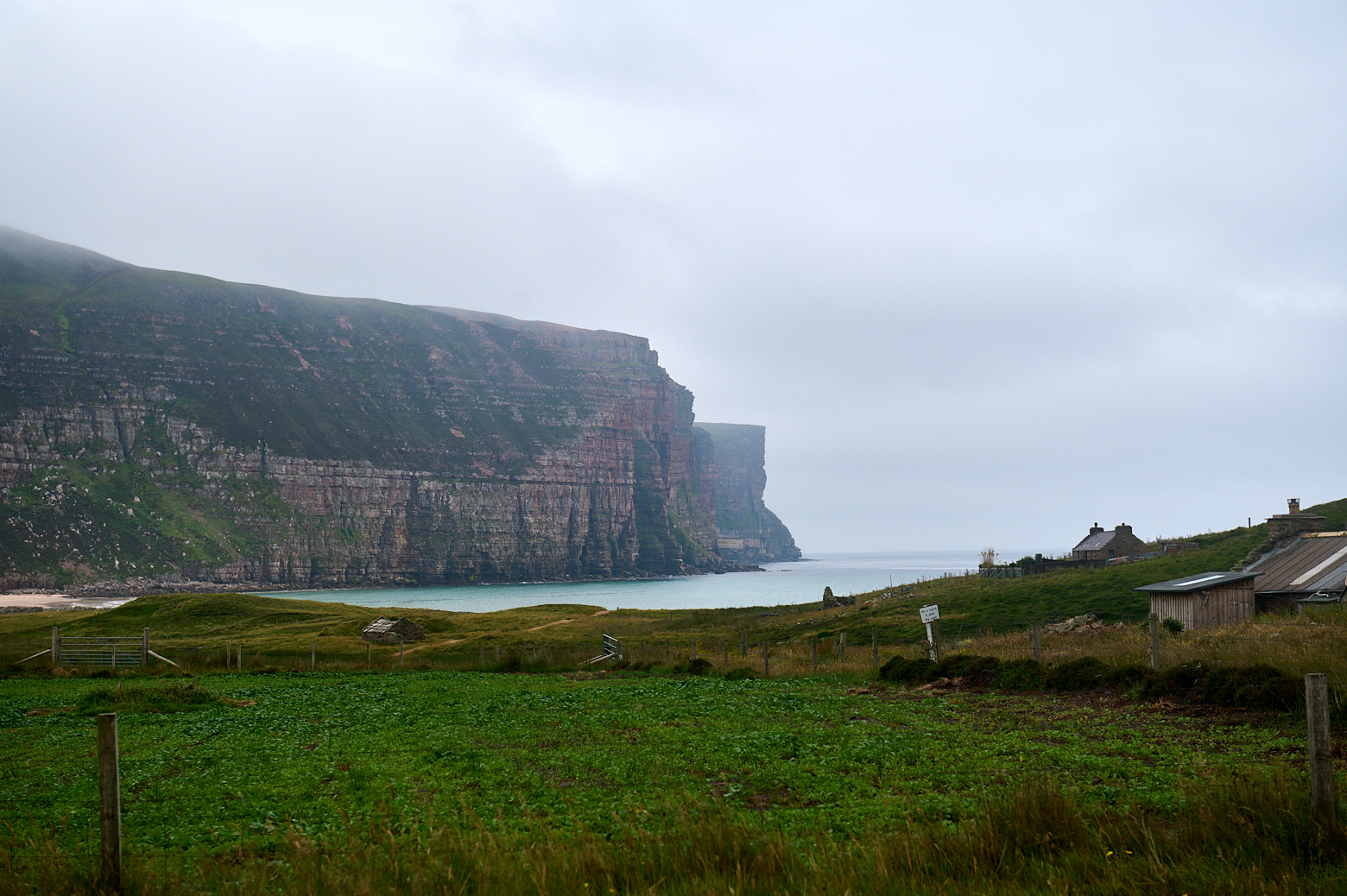
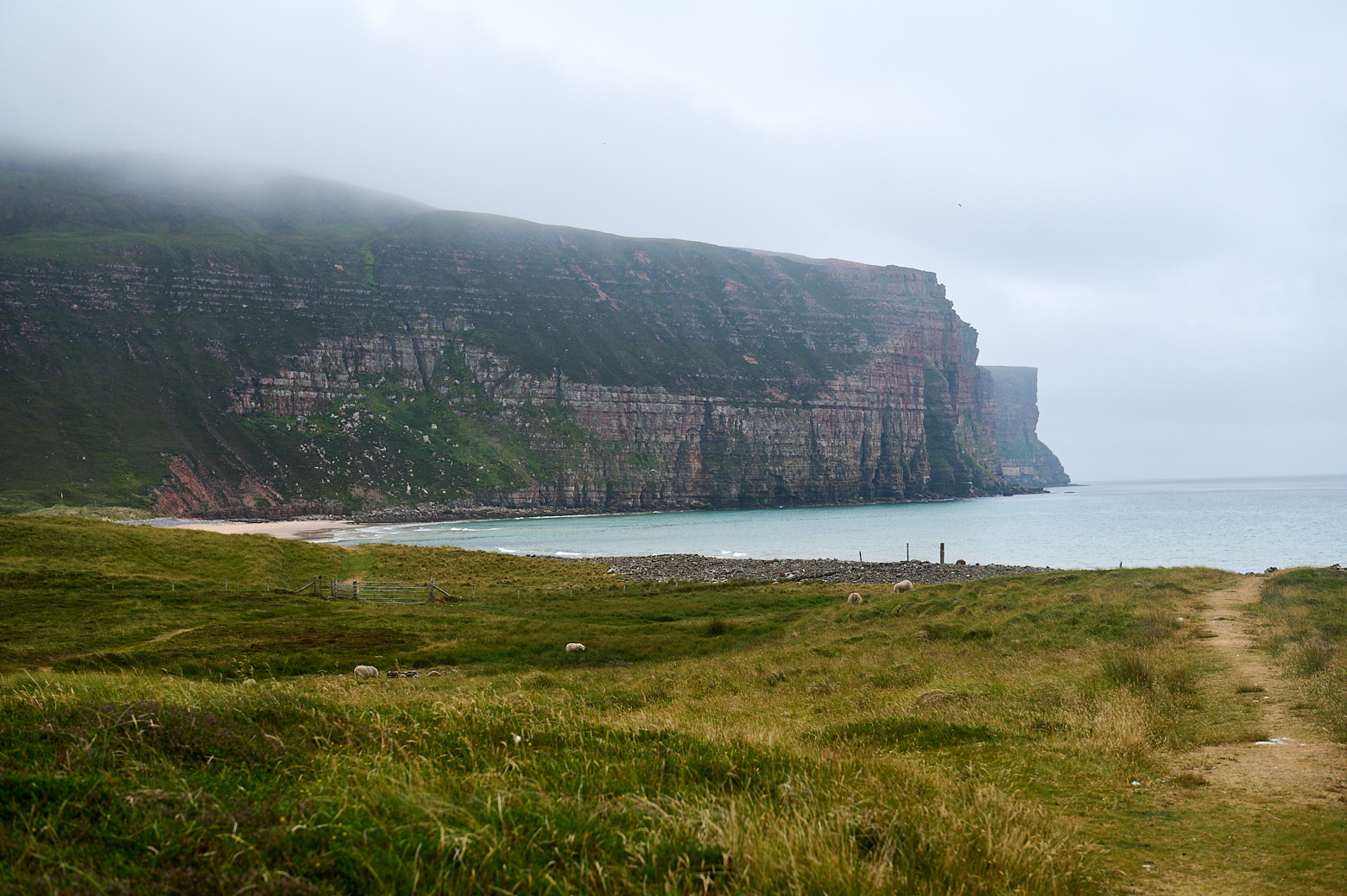
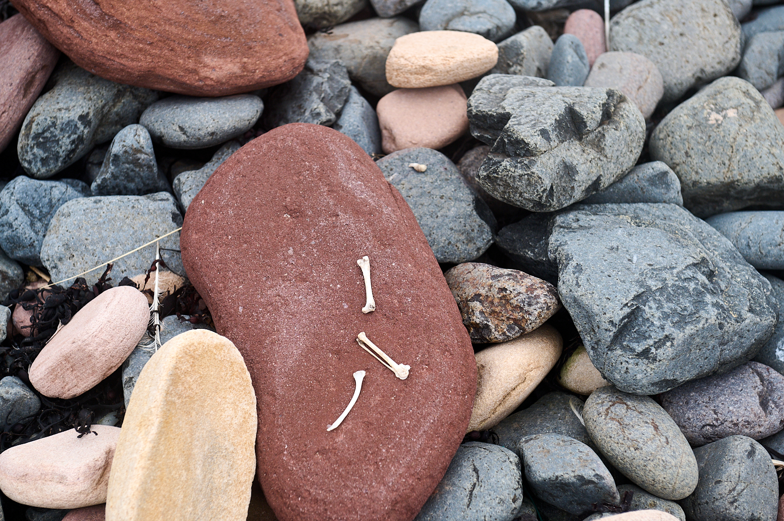
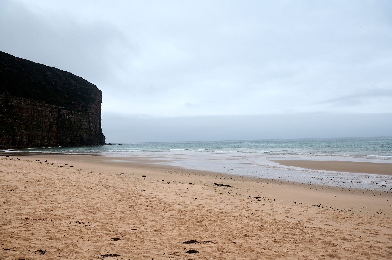
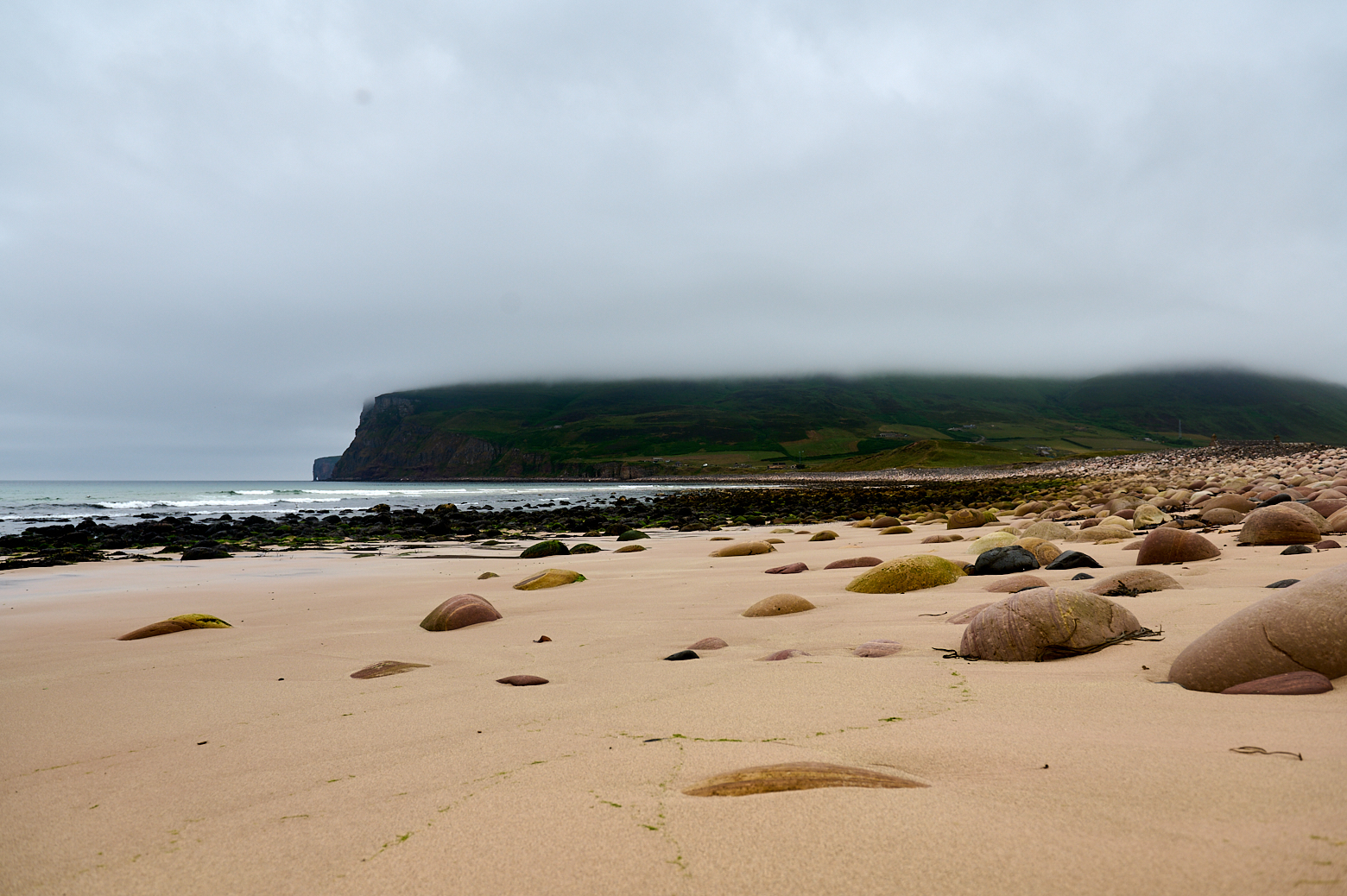
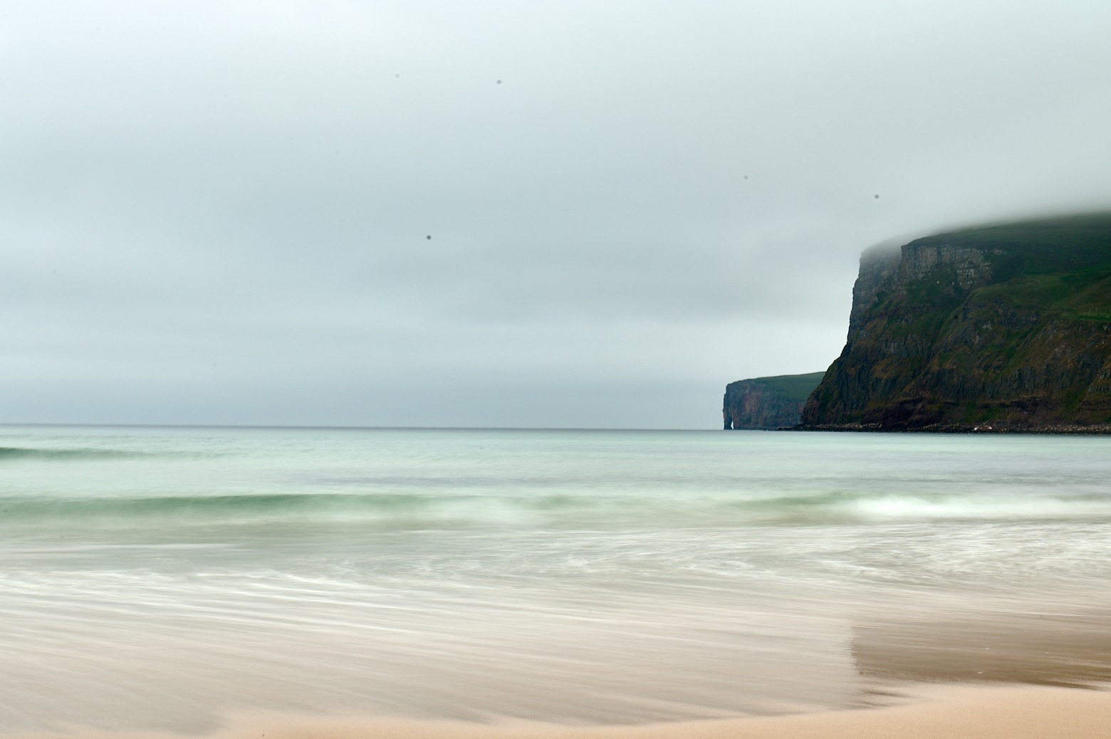
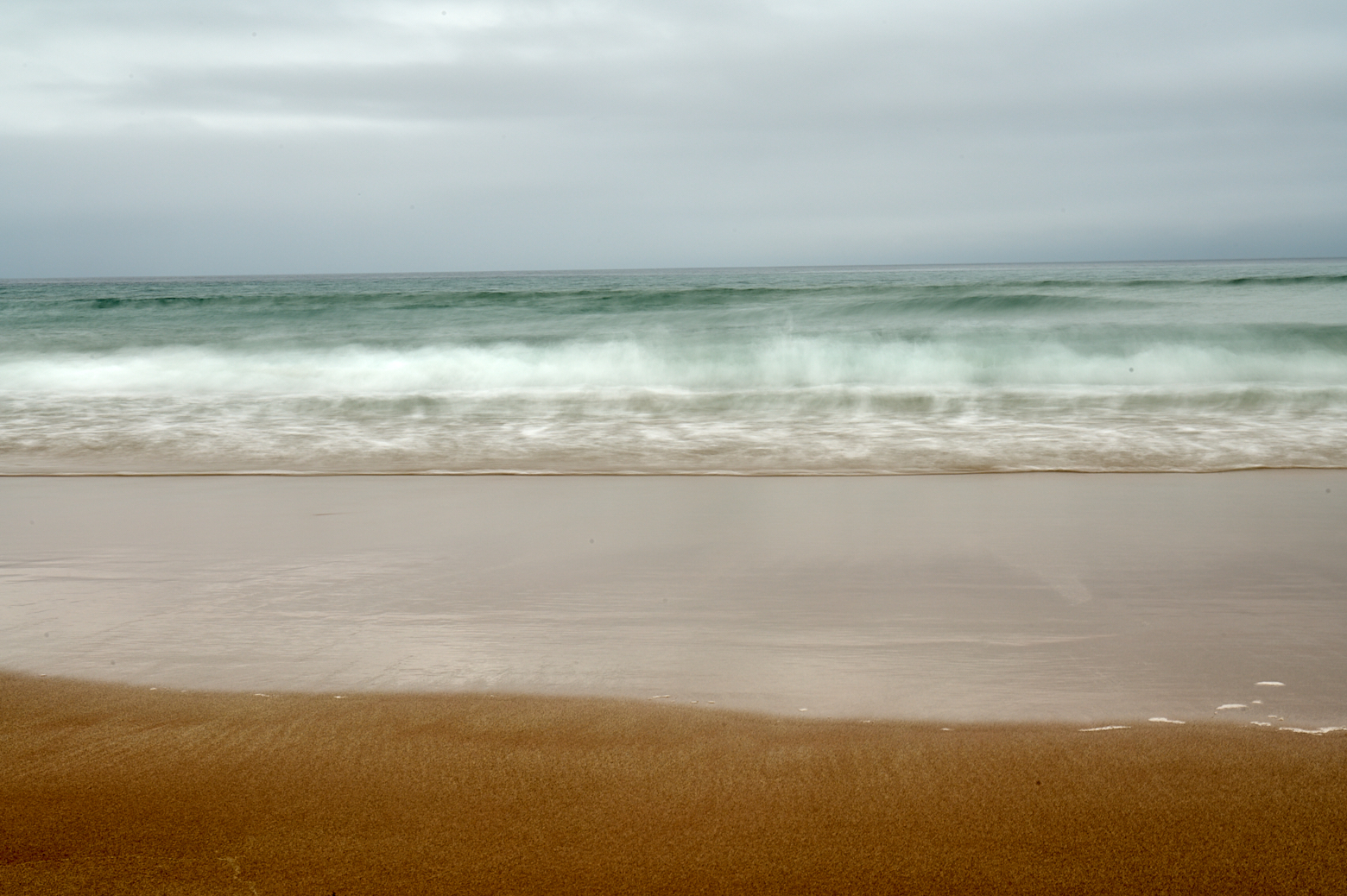
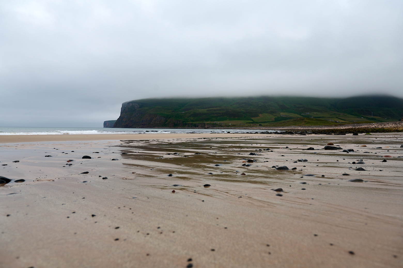
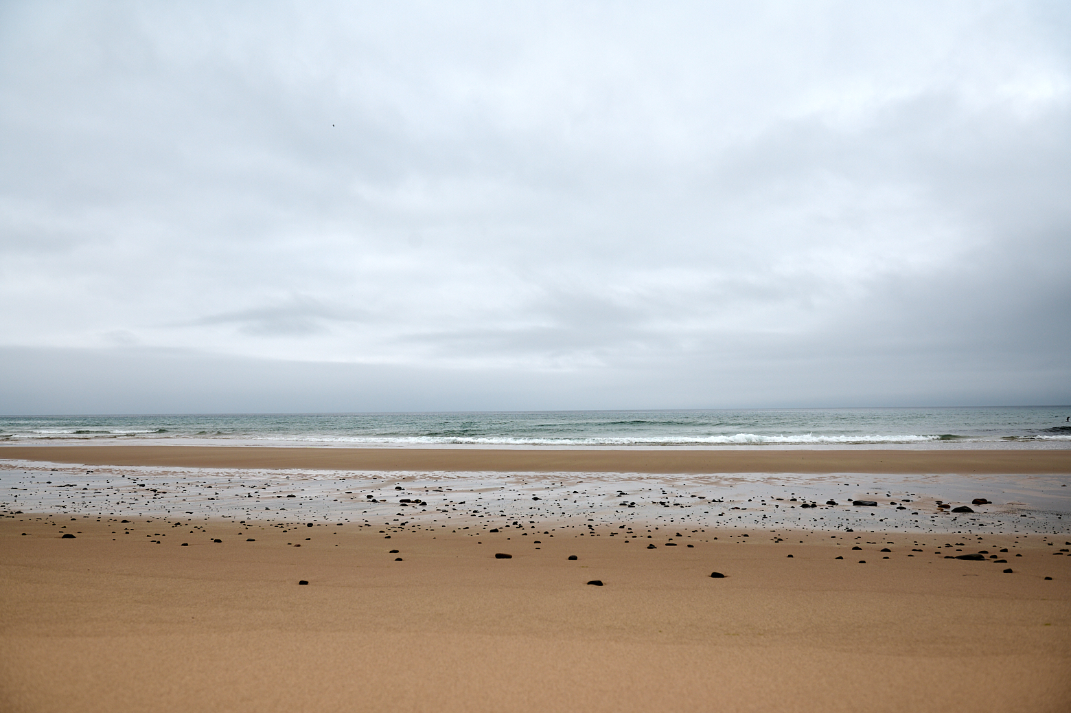
A day trip to Hoy, the island under the cloud, visiting Betty Corrigans Grave and Rackwick beach.A day trip to Hoy, the island under the cloud, visiting Betty Corrigans Grave and Rackwick beach.A day trip to Hoy, the island under the cloud, visiting Betty Corrigans Grave and Rackwick beach.

A day trip to Hoy, the island under the cloud, visiting Betty Corrigans Grave and Rackwick beach.

Rackwick Beach

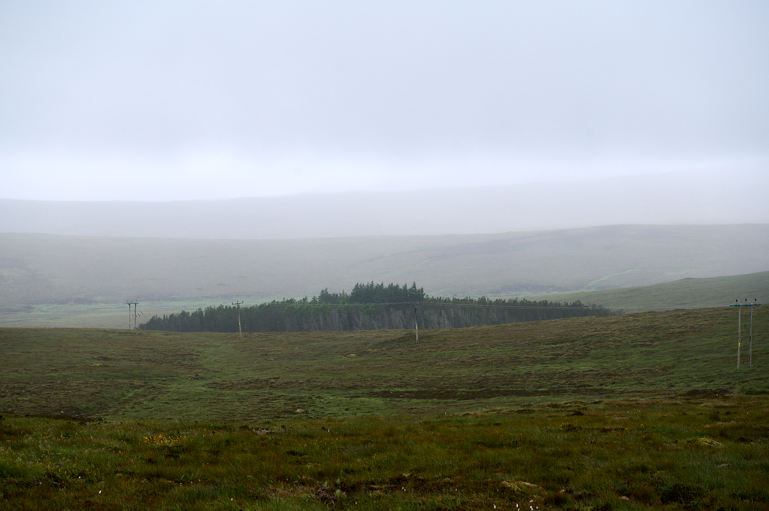
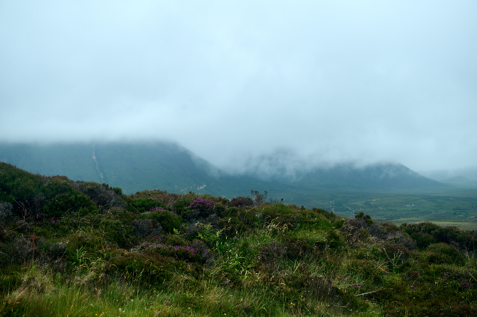
I continued my journey towards Rackwick valley, which is just picturesque. Surrounded on three sides by hills and a white beach on the fourth side.

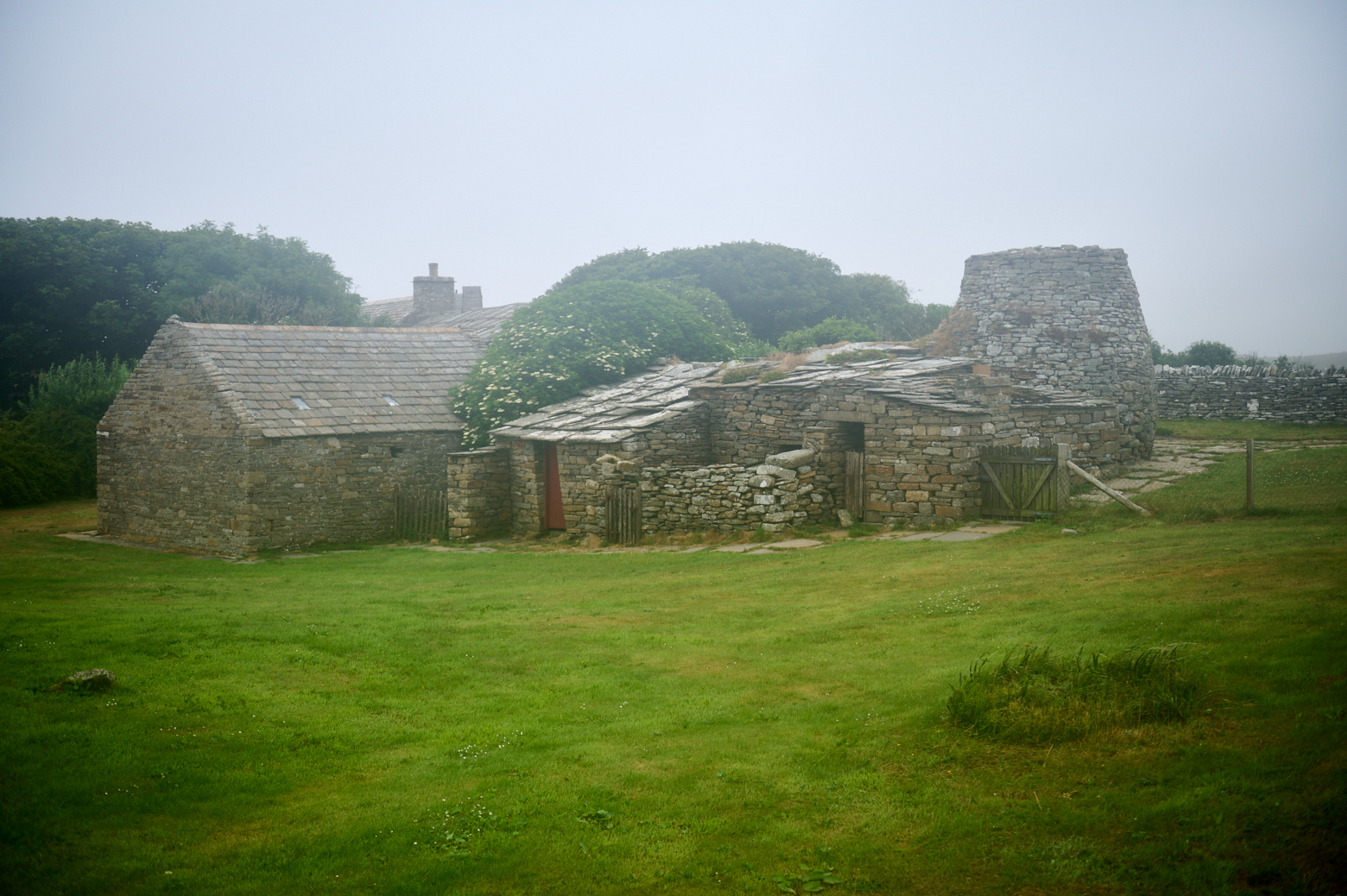
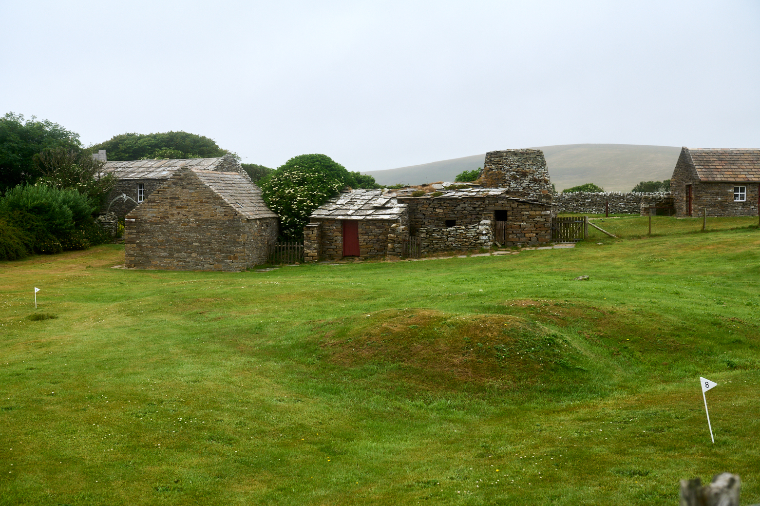
It was once populated by crofters and fishermen who lived in crofts with evocative names; Scar, Groups, Crow’s Nest. These crofts were abandoned and have since been rebuilt as holiday homes for Orkney folk who visit Rackwick at the weekend. (Northlinkferries.com)

A day trip to Hoy, the island under the cloud, visiting Betty Corrigans Grave and Rackwick beach.A day trip to Hoy, the island under the cloud, visiting Betty Corrigans Grave and Rackwick beach.A day trip to Hoy, the island under the cloud, visiting Betty Corrigans Grave and Rackwick beach.

A day trip to Hoy, the island under the cloud, visiting Betty Corrigans Grave and Rackwick beach.A day trip to Hoy, the island under the cloud, visiting Betty Corrigans Grave and Rackwick beach.

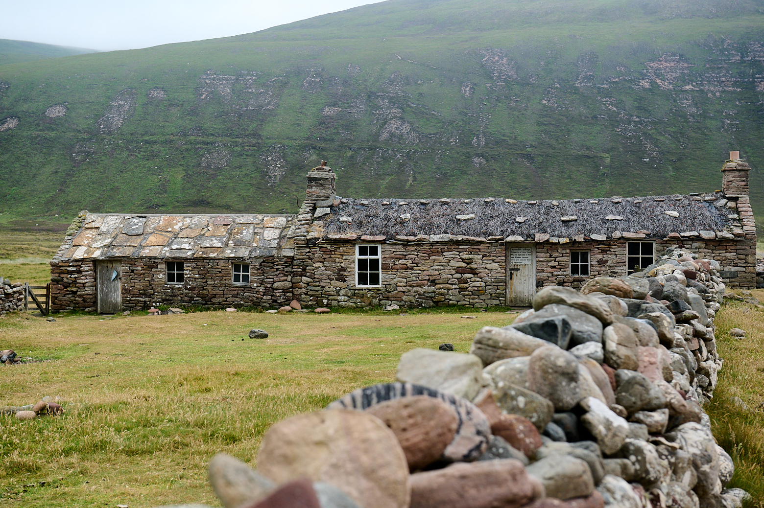
A lovely bothy next to the beach, ideal for a quick stay for a night.

A day trip to Hoy, the island under the cloud, visiting Betty Corrigans Grave and Rackwick beach.A day trip to Hoy, the island under the cloud, visiting Betty Corrigans Grave and Rackwick beach. Walking the coastal walk from Yesnaby in Orkney, Scotland. A day trip to Hoy, the island under the cloud, visiting Betty Corrigans Grave and Rackwick beach. A day trip to Hoy, the island under the cloud, visiting Betty Corrigans Grave and Rackwick beach. A day trip to Hoy, the island under the cloud, visiting Betty Corrigans Grave and Rackwick beach. A day trip to Hoy, the island under the cloud, visiting Betty Corrigans Grave and Rackwick beach.

After a long walk on the beach, it was time to head the same way back and visit another grave, more about that one next time!


Wherever I looked, I always stumbled on this walk along the coast of Yesnaby – everyone seemed to say that one shouldn´t miss this one – of course, I had to go there!

Yesnaby is located 6 miles from Stromness and it is a stretch of amazing cliffs, seastacks, rocky beaches and promontories carved out of Old Red Sandstone rocks which were part of the seabed 400 million years ago. (Northlinkferries.com)

Yesnaby 1

The coastal walk from Yesnaby (or Skaill) starts at some wartime buildings and one already gets a nice view of this rugged coastline, formed by the sea millions of years ago.

The result is a spectacular array of cliff scenery where you’ll find towering sea stacks and blow holes created by the force of the mighty ocean. (The Scotsman)

Yesnaby 2

Yesnaby 3

First view of Yesnaby Castle, a 35m high sea stack with two legs. And the first of a few stacks I saw this day, even without going the whole length to Stromness.

Yesnaby 4Yesnaby 5

Yesnaby 6Yesnaby 7

Nesting birds everywhere.

Yesnaby 8Yesnaby 9

The island of Hoy under a cloud, I´ve never seen it without one, except on the day I left Orkney and the ferry was passing by Hoy.

Yesnaby 10Yesnaby 11

North Gaulton Castle, is another impressive stack about 70 m high.

Yesnaby 12

Yesnaby 13

I turned back after around 1,5 – 2 hours and walked back to Yesnaby.

Yesnaby 14Yesnaby 15

One can also continue the walk on the other side of Yesnaby towards Skaill, I went for a bit but didn´t even make it to the Broch of Borwick – another time.


It´s been a dreich day when I came back to the Ness of Brodgar, again – but I still wanted to take a closer look at the ongoing excavations of the Ness.

Ring of Brodgar

A dreich day on the Ness of Brodgar, the Neolithic Heart of Orkney.

I parked the car at the Ring of Brodgar and started my walk along the Ness from there, how different it felt from the sunshine last time.

A dreich day on the Ness of Brodgar, the Neolithic Heart of Orkney.

A dreich day on the Ness of Brodgar, the Neolithic Heart of Orkney.

Path and view towards the Ness – it is just a short walk between the two lochs to the excavation site.

Lying at the centre of a massive natural “cauldron” ringed by hills, the Ness of Brodgar runs north-west to south-east and is therefore naturally (and roughly) aligned to the midwinter rising sun at midwinter and midsummer sunset. There is no better place than the Ness to view both. (Ness of Brodgar .co.uk)

A dreich day on the Ness of Brodgar, the Neolithic Heart of Orkney.

Passing the Comet Stone on the edge of the Ring of Brodgar.

A dreich day on the Ness of Brodgar, the Neolithic Heart of Orkney.

View towards the other side of Loch Harray.

A dreich day on the Ness of Brodgar, the Neolithic Heart of Orkney.

And looking back towards the Ring of Brodgar, all across the meadow.

Ness of brodgar

A dreich day on the Ness of Brodgar, the Neolithic Heart of Orkney.

The Ness of Brodgar is a thin strip of land between the lochs of Harray and Stenness.

The Ness is covered in, and surrounded by, archaeology. Until the beginning of this century, it was best known as the site of the Ring of Brodgar and the nearby Standing Stones of Stenness, both part of the Heart of Neolithic Orkney World Heritage Site. In 2002 all that changed when a geophysical survey revealed a huge prehistoric complex, indicating many buildings beneath the Ness. The dense concentration of structures astonished the worldwide archaeological community. (orkney.com)

In 2003 the owners of one of the nearby houses on the Ness of Brodgar wanted to prepare a field for a wildflower meadow.

The ploughman uncovered what looked like the slab of a Bronze Age burial kist, and on inspection, a vast complex of buildings dating as far back as 3300 BC were discovered. (Northlinkferries.com)

A dreich day on the Ness of Brodgar, the Neolithic Heart of Orkney.

Every summer it is possible to see archaeologists at work at the Ness, revealing a large complex of monumental Neolithic buildings along with decorated masonry, pottery, stone tools, evidence of stone tiled roofing and much more. 2021 a small group was back at work and parts of the excavations were open to taking a peek inside.

A dreich day on the Ness of Brodgar, the Neolithic Heart of Orkney.

So far a number of buildings, some of them on top of each other have been excavated and all the finds are changing the knowledge about the Neolithic time.

Get to know the structures on the Ness of Brodgar website.

Signs on the site are telling us about the finds and about the history of the place. The Information Panels.

A dreich day on the Ness of Brodgar, the Neolithic Heart of Orkney.

The site was surrounded by a vast boundary wall, sometimes referred to as the Great Wall of Brodgar, wider than Hadrian’s Wall.

Why the Ness of Brodgar was abandoned is unknown. Perhaps a new religion took over or a new power ruled over the islands. However in 2200 BC the Ness of Brodgar was robbed of stone, and then somehow, this vast complex of buildings became lost, covered by dirt and plants, and forgotten in the landscape. (Northlinkferries.com)

A dreich day on the Ness of Brodgar, the Neolithic Heart of Orkney.

Another view of the Ness is seen from the Watch Stone, near the Stones of Stenness. Before I turned around and walked back to that parking place at the Ring of Brodgar.

A dreich day on the Ness of Brodgar, the Neolithic Heart of Orkney.

A dreich day on the Ness of Brodgar, the Neolithic Heart of Orkney.

A dreich day on the Ness of Brodgar, the Neolithic Heart of Orkney.

A dreich day on the Ness of Brodgar, the Neolithic Heart of Orkney.

Kirkbuster Museum

On my way back to may little cottage near Skaill I stopped at the Kirkbuster Museum, which was unfortunately closed that day, so I could only take a peek from the outside onto the last “firehoose” in Northern Europe.

A dreich day on the Ness of Brodgar, the Neolithic Heart of Orkney.

The house has a central hearth, complete with peat fire, and a stone neuk bed reminiscent of the Neolithic interiors that can be seen at sites such as Skara Brae, Orkney. Kirbuster was occupied up until the 1960s (Orkney.gov.uk)

A dreich day on the Ness of Brodgar, the Neolithic Heart of Orkney.