Tag: Scotland

  • Arriving in Eriskay

    Arriving in Eriskay on Bonnie Prince Charles beach.

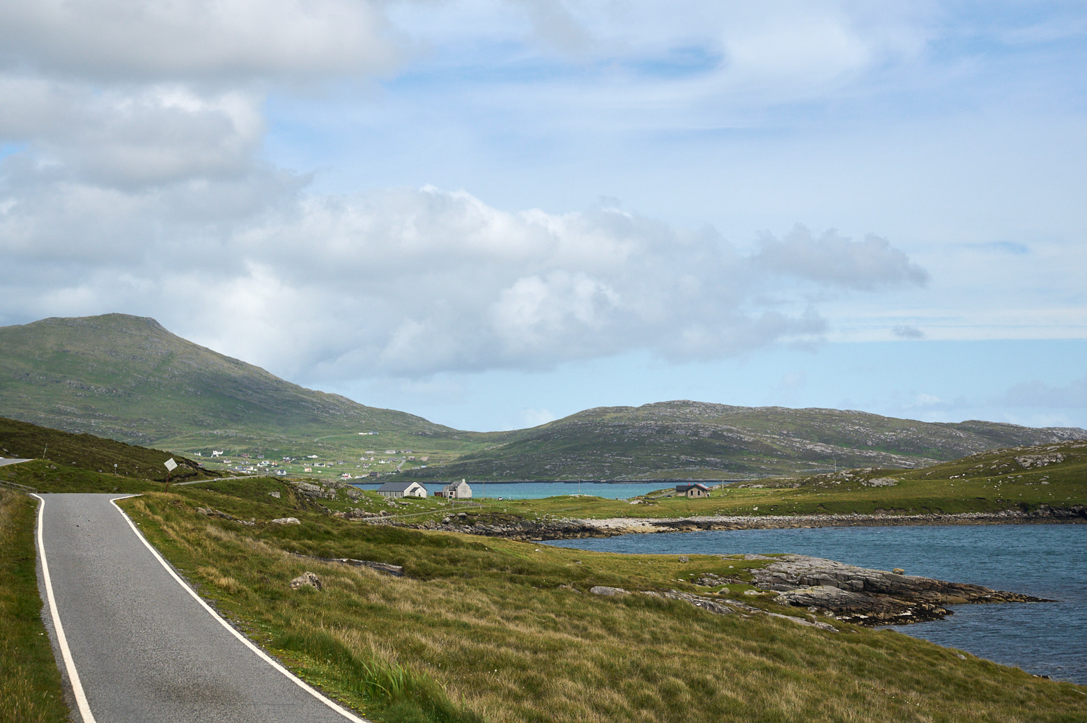
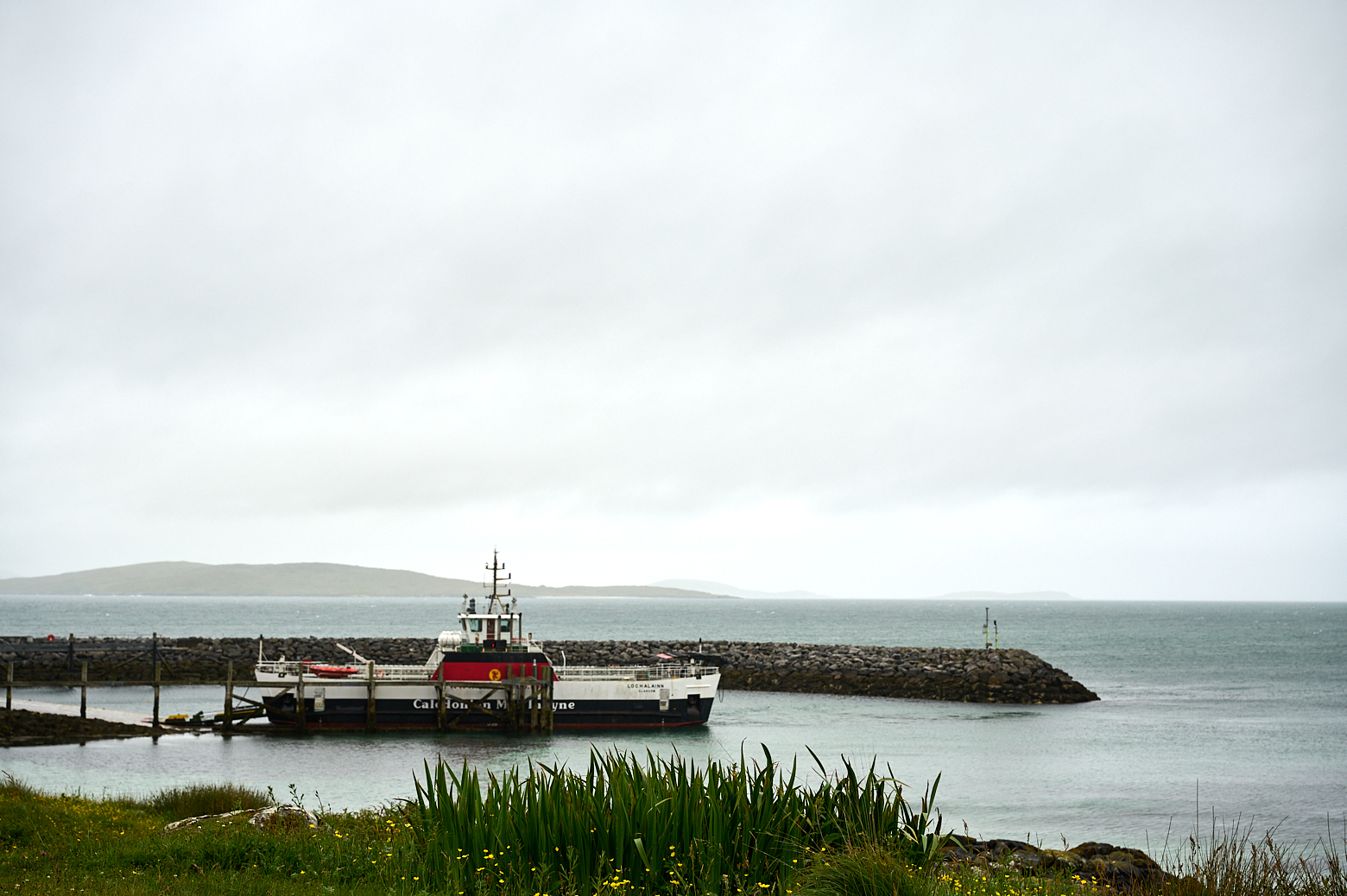
    It was time to say goodbye to Barra and continue my journey to Eriskay and then South Uist. It was a pretty stormy day and there was an orange warning for the ferry. So everyone in the little cafe at the ferry terminal was quite excited when we saw the ferry coming, a bit late but she was coming and took us over to Eriskay. It was a bit of a wild ride, the waves were crashing over the ferry so all of the cars (and foot passengers) got a good wash.

    But we arrived safe and sound (and a bit wet) in Eriskay!

    Arriving in Eriskay on Bonnie Prince Charles beach.

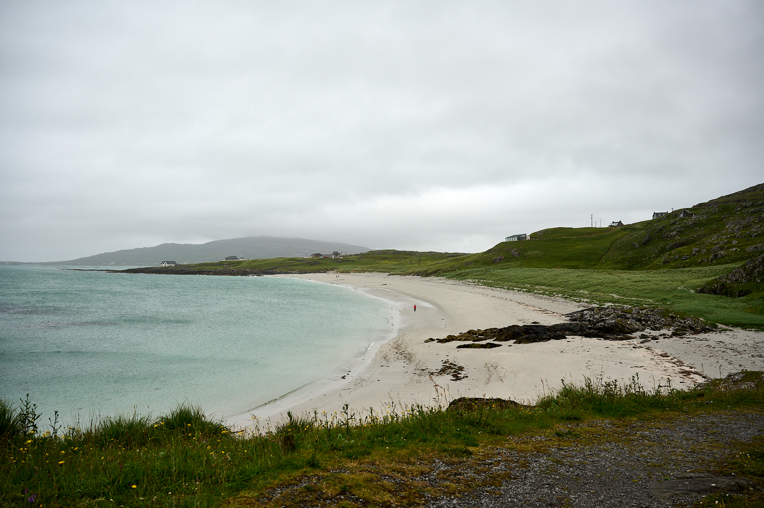
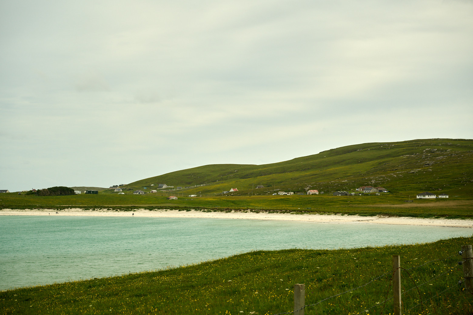
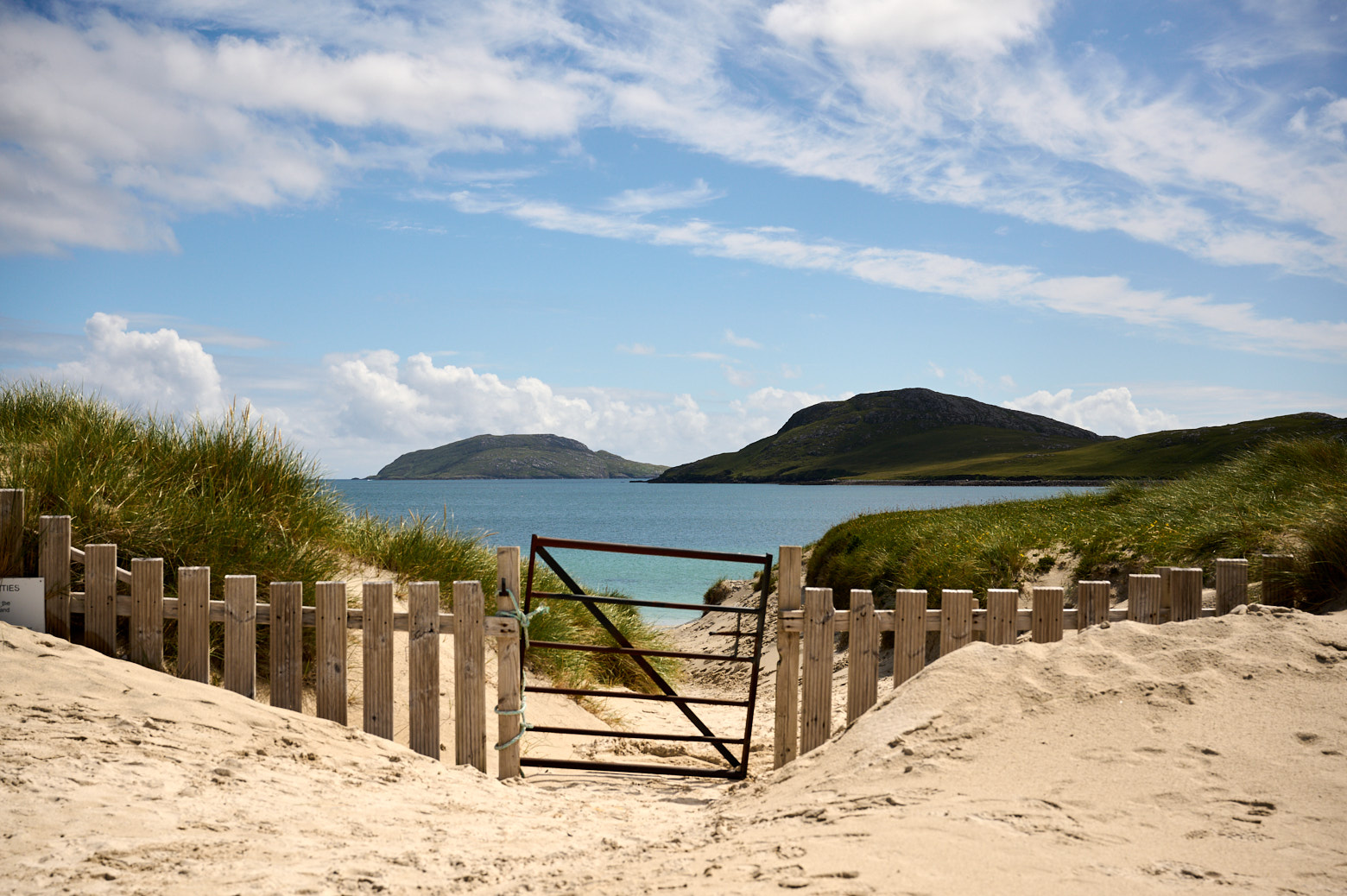
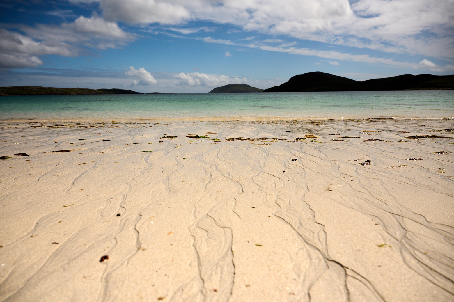
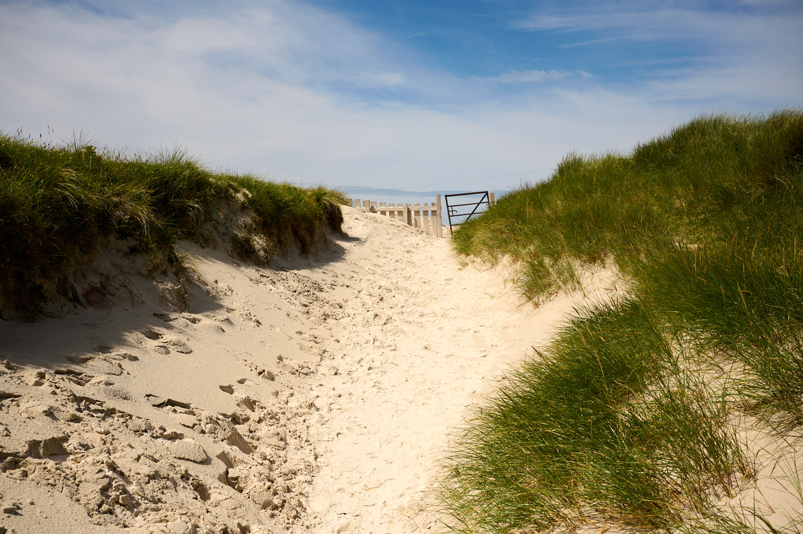
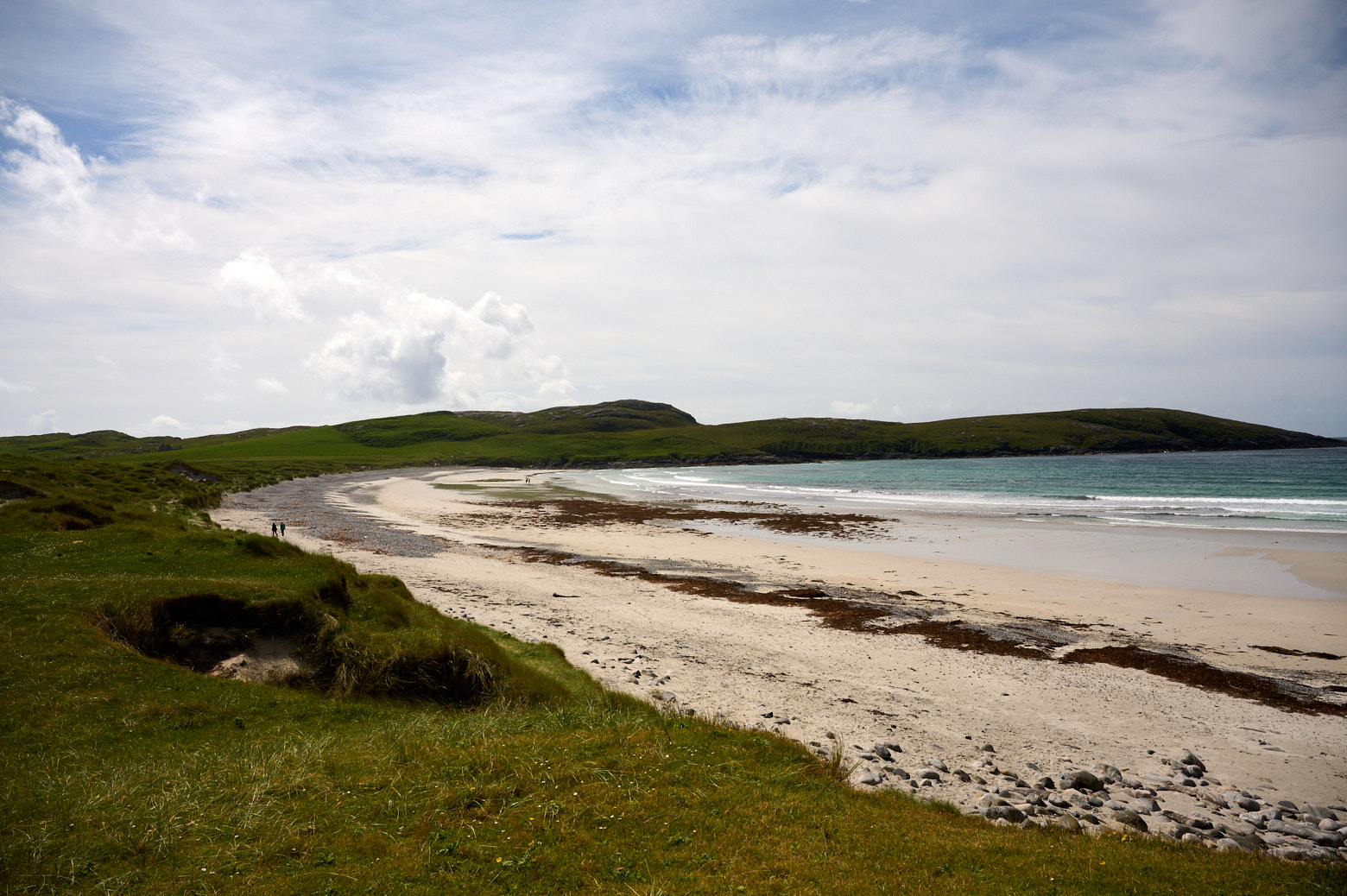
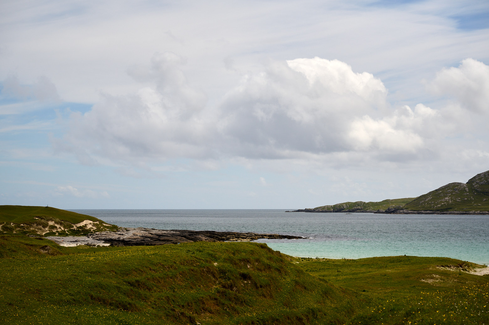
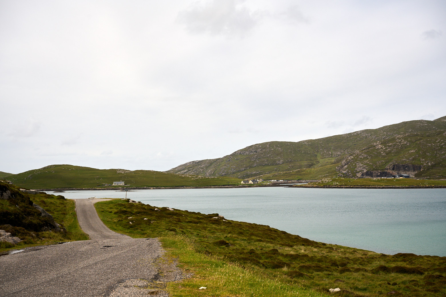
    I stopped right away at this beach next to the harbour, Prince´s Charlies Bay. Bonnie Prince Charlie landed here in Eriskay on 23rd July 1745.

    Accompanied by only seven supporters the Prince landed off the French frigate Du Teillay at Coilleag a Phrionnsa. Ranald MacDonald, the Captain or chief of the MacDonalds of Clanranald was absent at the time so the Prince summoned  his half-brother, Alasdair MacDonald of Boisdale to meet him on Eriskay. (Visit Outer Hebrides)

    But he got told that the local clans, the MacDonalds of Clanranald, the MacDonalds of Sleat in Skye and the MacLeods of Skye would not support him and he should get back home. The Prince then sailed to the mainland and raised an army there.

    Arriving in Eriskay on Bonnie Prince Charles beach.

    Arriving in Eriskay on Bonnie Prince Charles beach.

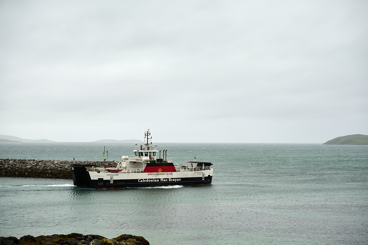
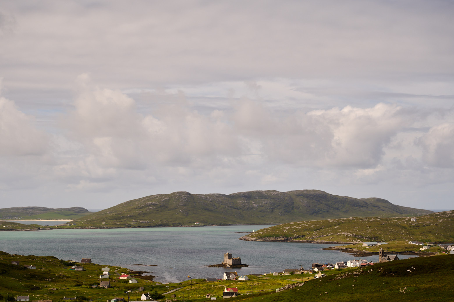
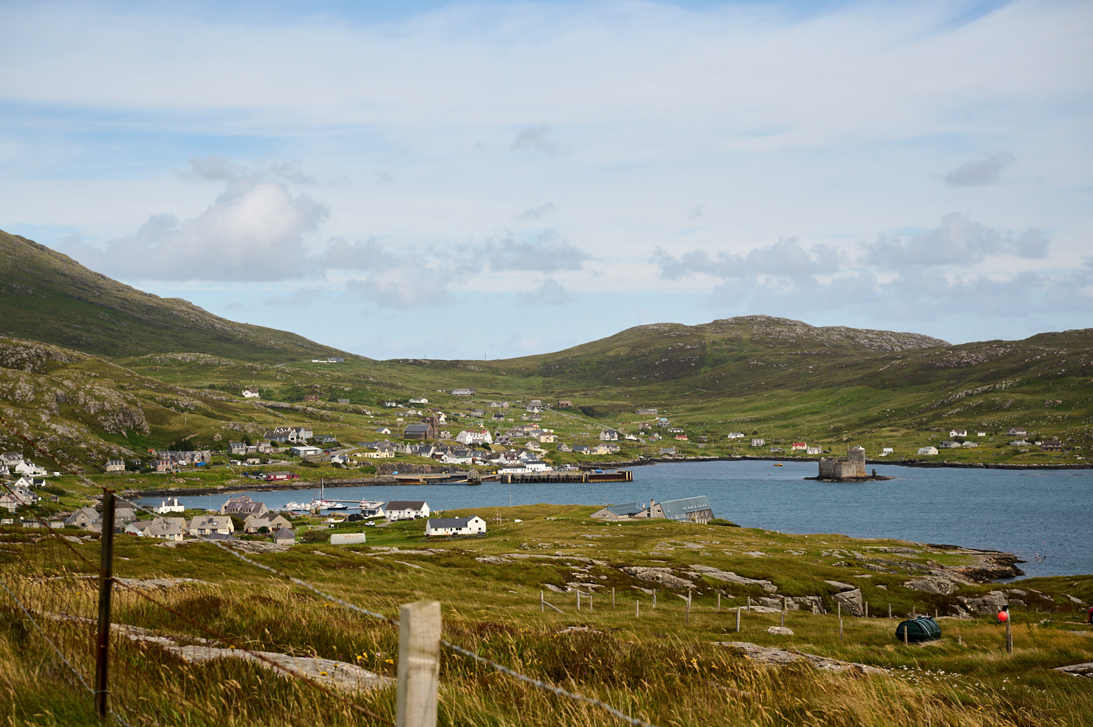
    The ferry going back to Barra.


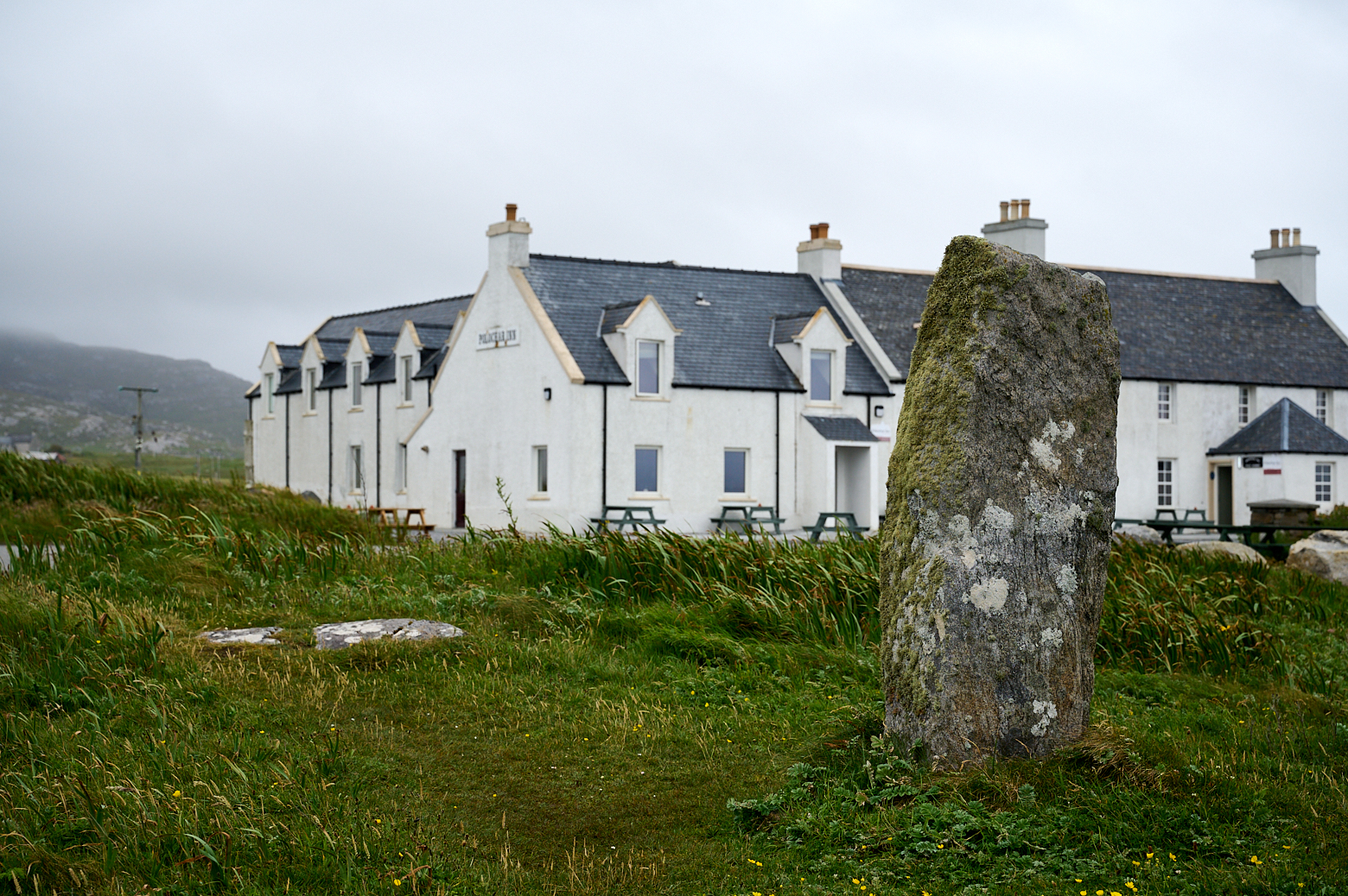
    Polochar standing stone

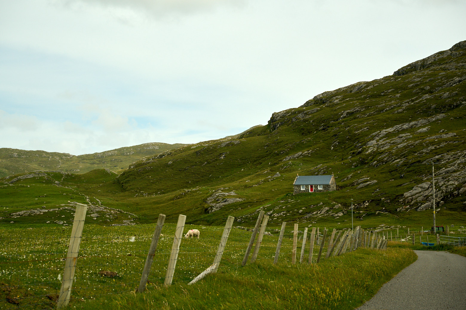
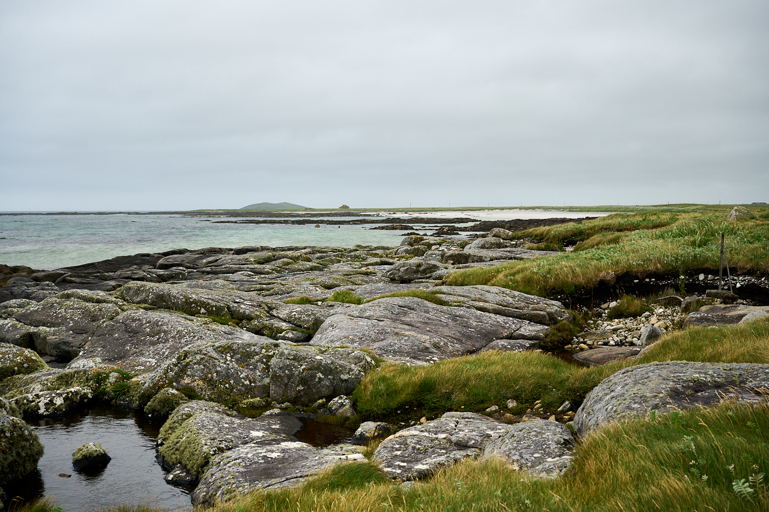
    I crossed the causeway going to South Uist and made another stop at the Polochar Inn and the Polochar Standing Stone.

    Polochar Standing Stone in South Uist.

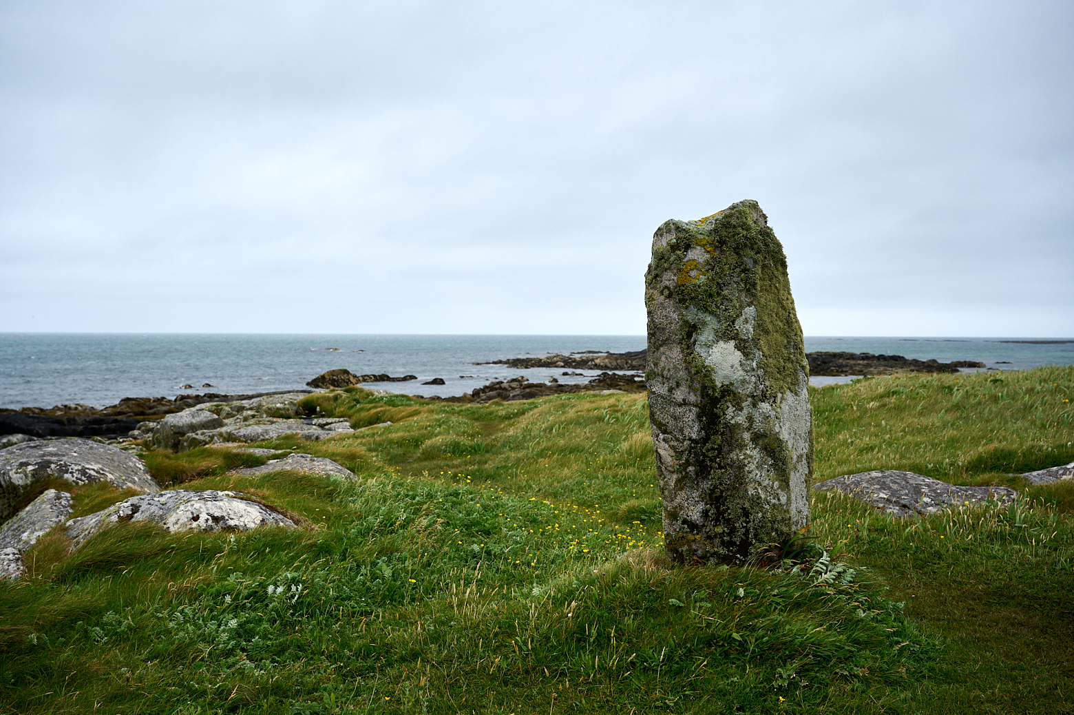
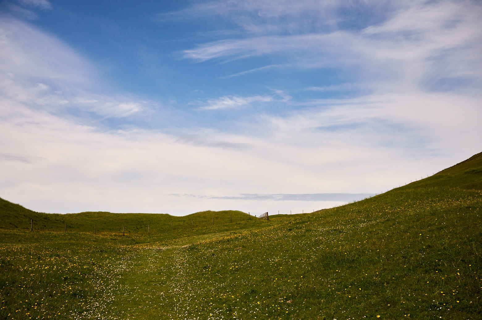
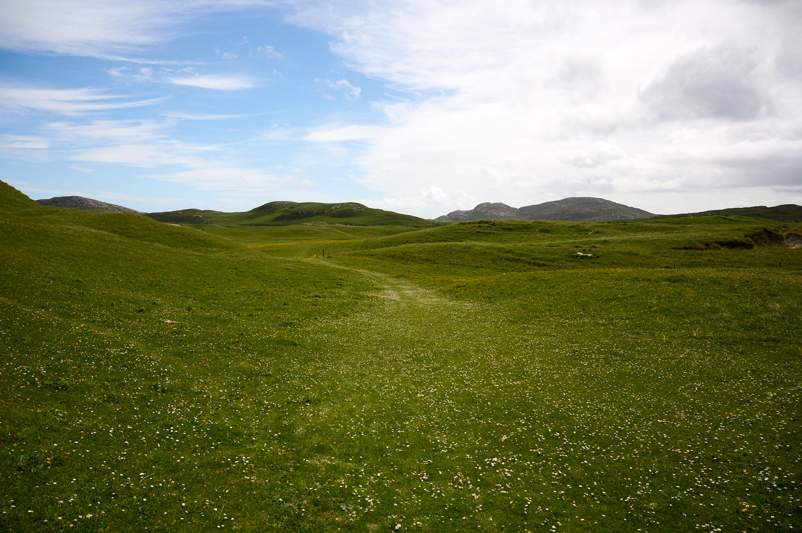
    The stone probably dates from 2000BC – the views around here are amazing.

    Polochar Standing Stone in South Uist.

    Polochar Standing Stone in South Uist.

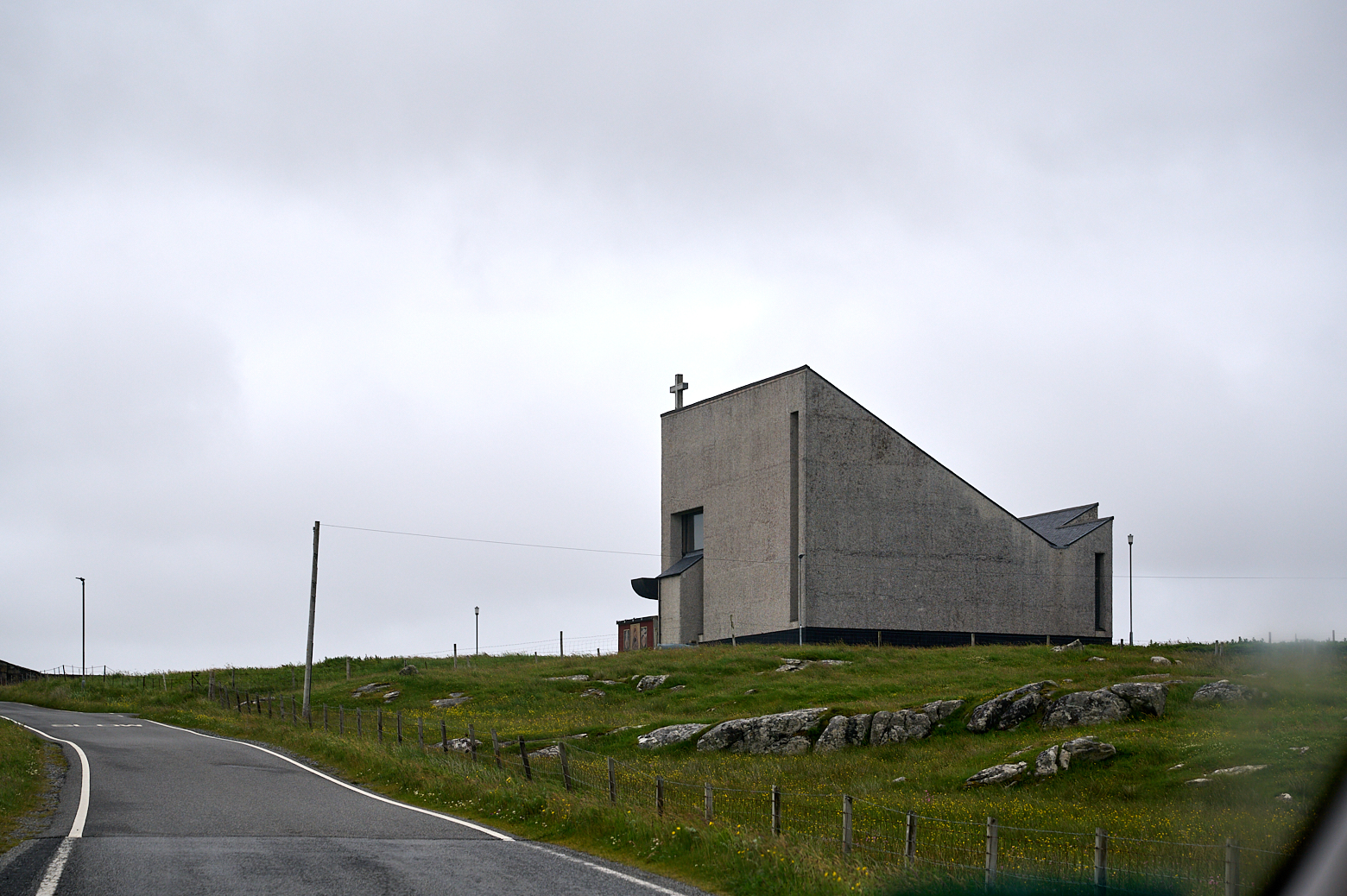
    I continued my way towards my accommodation in South Uist but had to take a picture of this imposing church along the road.

    Very imposant church in South UIst.

  • Saint Barr’s Church – Eoligarry

    Visiting Saint Barr´s Church in Eoligarry, Isle of Barra.

    I made my way to the Eoligarry peninsula in the North of Barra, to visit more beaches and also the remains of Saint Barr´s Church.

    Visiting Saint Barr´s Church in Eoligarry, Isle of Barra.

    Visiting Saint Barr´s Church in Eoligarry, Isle of Barra.

    Visiting Saint Barr´s Church in Eoligarry, Isle of Barra.

    Visiting Saint Barr´s Church in Eoligarry, Isle of Barra.

    Visiting Saint Barr´s Church in Eoligarry, Isle of Barra.

    Visiting Saint Barr´s Church in Eoligarry, Isle of Barra.

    Visiting Saint Barr´s Church in Eoligarry, Isle of Barra.

  • Vatersay

    Driving to the Isle of Vatersay with Castle Kisimul along the way.

    After a few pretty wet days the sun was back and it was time to explore the Isle of Vatersay. Vatersay is located South of Barra and the most southerly inhabited island of the Outer Hebrides.

    Driving to the Isle of Vatersay in the Outer Hebrides.

    Vatersay is now linked to Barra by a causeway which was completed in 1991.

    A walk along the famous beach on the Isle of Vatersay in the Outer Hebrides.

    A walk along the famous beach on the Isle of Vatersay in the Outer Hebrides.

    This little gate is probably one of the most iconic sights of the Outer Hebrides – the gate to the stunning Traigh A Bhaigh, East Beach.

    A walk along the famous beach on the Isle of Vatersay in the Outer Hebrides.

    A walk along the famous beach on the Isle of Vatersay in the Outer Hebrides.

    A walk along the famous beach on the Isle of Vatersay in the Outer Hebrides.

    A walk along the famous beach on the Isle of Vatersay in the Outer Hebrides.

    Walking back to the gate and continuing to the other side of this tombolo connecting the East and West parts of Vatersay.

    Exploring the Isle of Vatersay in the Outer Hebrides.

    Bagh Siar, the West Beach of Vatersay has no gate but lots of Machhair filled with flowers.

    Exploring the Isle of Vatersay in the Outer Hebrides.

    Exploring the Isle of Vatersay in the Outer Hebrides.

    After some lunch at the community café right next to the beaches, I continued exploring the rest of Vatersay.

    Exploring the Isle of Vatersay in the Outer Hebrides.

    Exploring the Isle of Vatersay in the Outer Hebrides.

    At the end of the 19th century, the landowner wanted to use the whole of the island for their own farming purposes and evicted all the existing crofter inhabitants.

    Between 1902 and 1906 there were a sequence of Land raid actions when some of these men, the so-called “Vatersay Raiders”, returned and took possession of land, claiming that an ancient law allowed a man to acquire land by building a wooden dwelling and lighting a fire on its hearth within a day. (Wikipedia)

    The Raiders were taken to court by the landowner Lady Gordon Cathcart and imprisoned. After much public protest, the Congested Districts Board (Scotland) bought Vatersay Island for £6250 and it was divided into 58 crofts in 1909.

    Exploring the Isle of Vatersay in the Outer Hebrides.

    Exploring the Isle of Vatersay in the Outer Hebrides.

    Exploring the Isle of Vatersay in the Outer Hebrides.

    Going back to Barra, it´s only about 2 km from Vatersay to Castlebay.

    Exploring the Isle of Vatersay in the Outer Hebrides.

    Exploring the Isle of Vatersay in the Outer Hebrides.

    Exploring the Isle of Vatersay in the Outer Hebrides.