Tag: my scottish summer

  • Mousa

    a great day trip to the isle of mousa in shetland

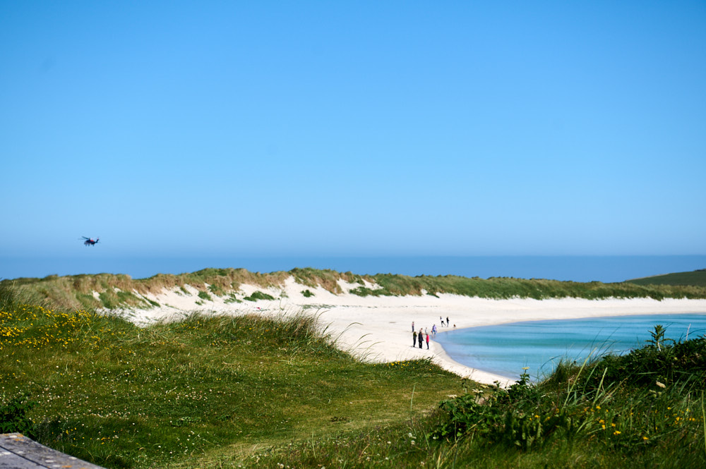
    Even when you are already on an island there are still so much more islands to visit. I´ve already seen the Island of Mousa lying next to mainland Shetland while driving from Lerwick to my lovely Airbnb and on day two it was time for a visit.

    a great day trip to the isle of mousa in shetland

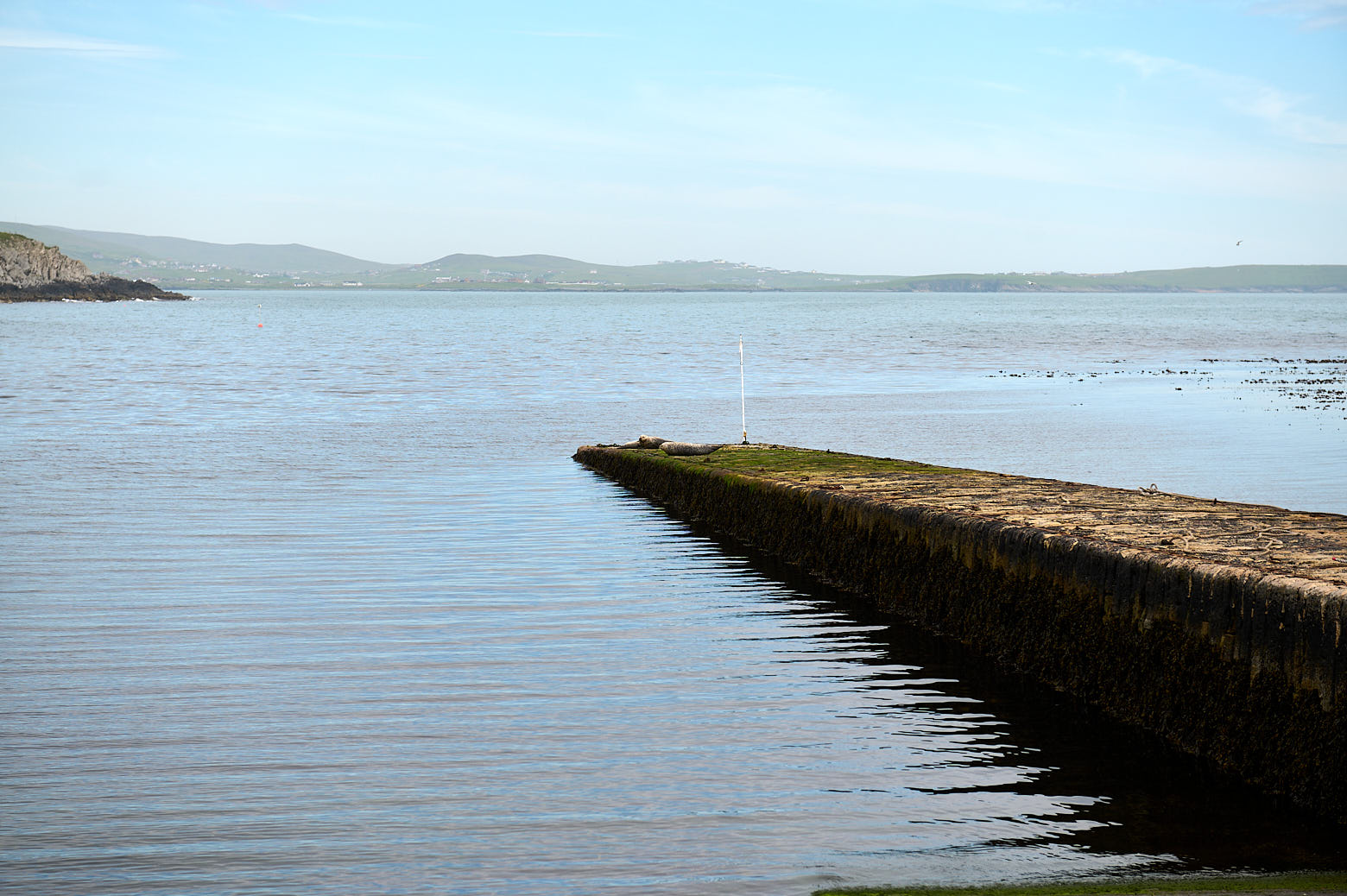
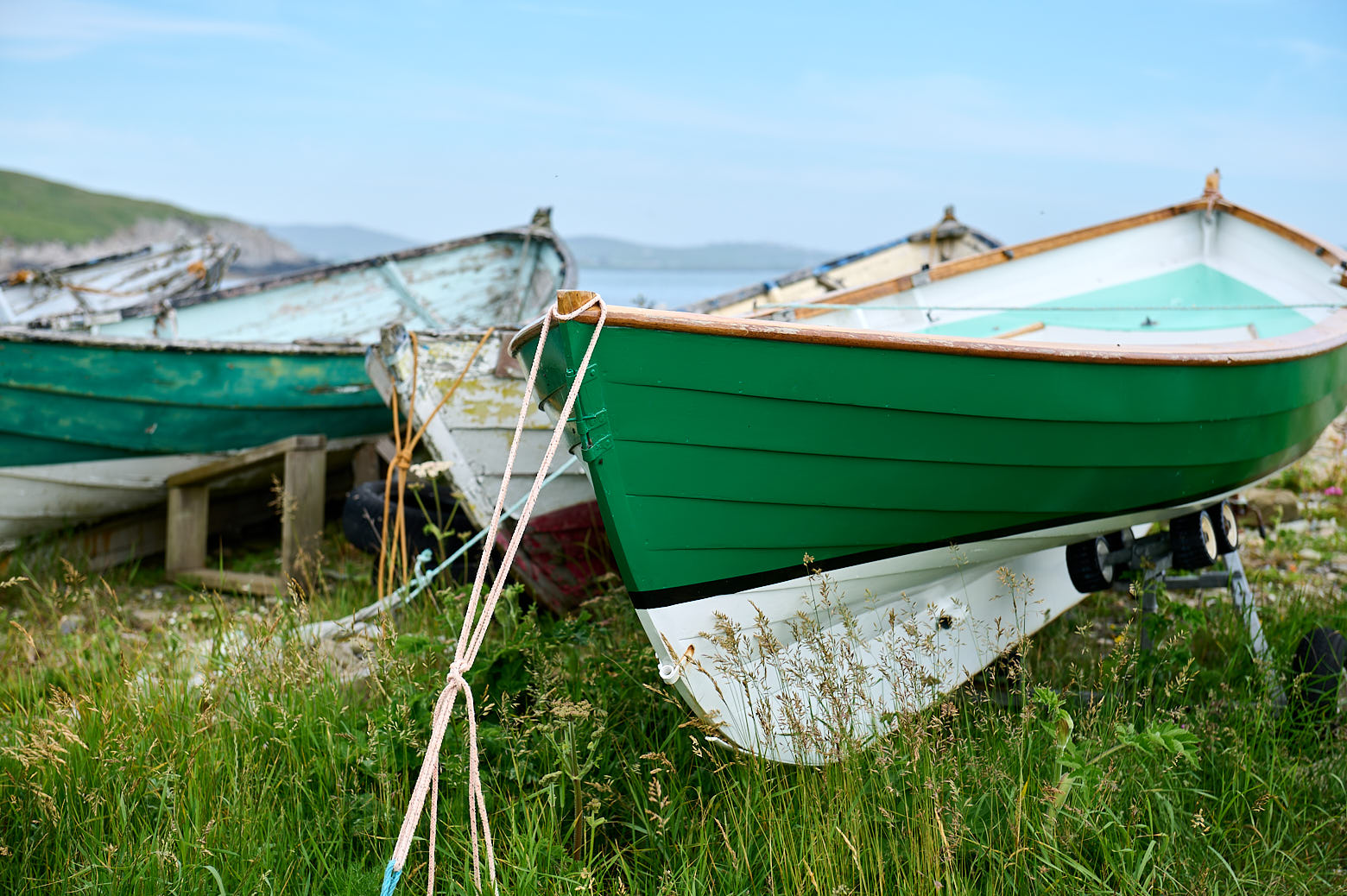
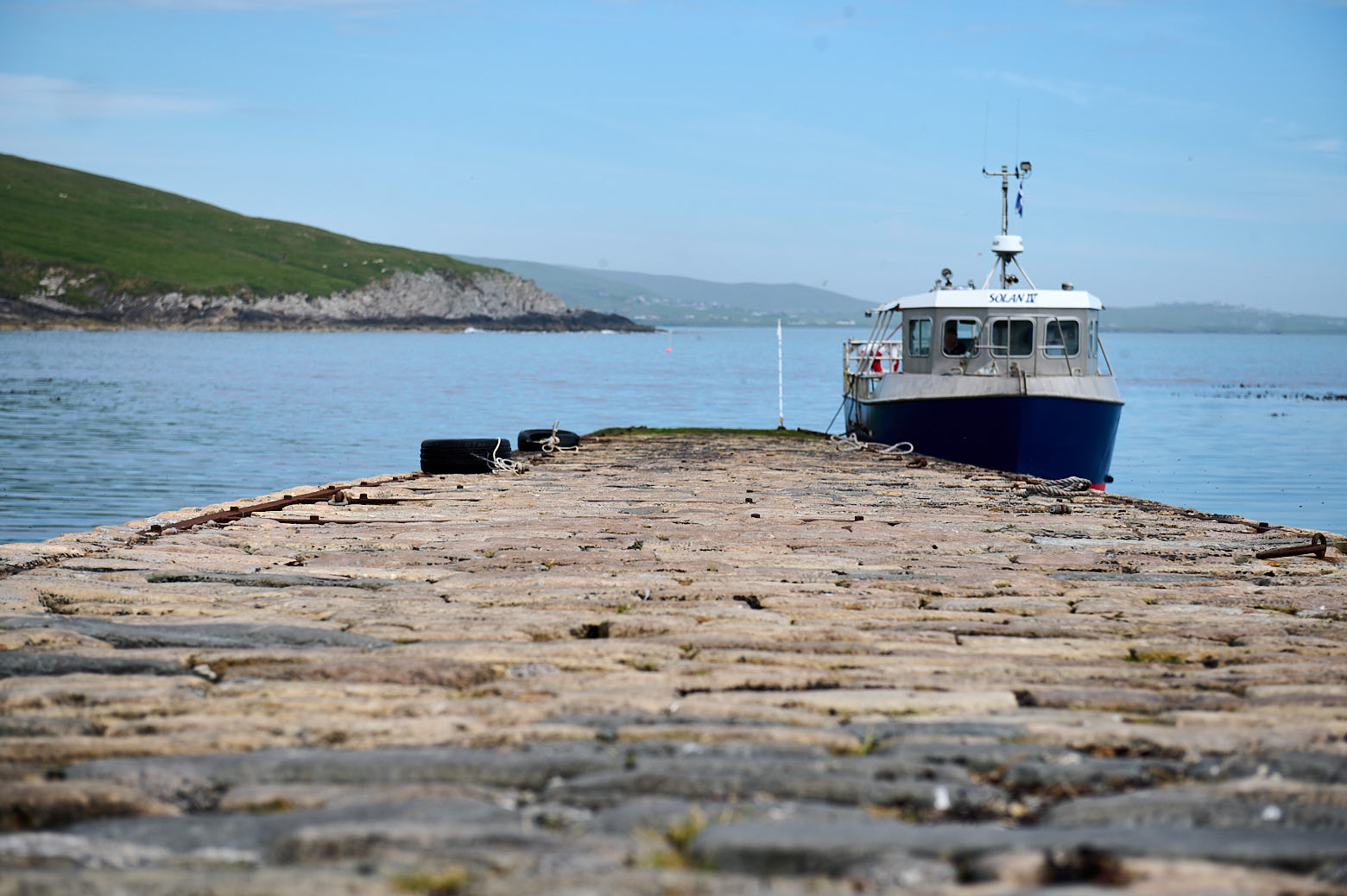
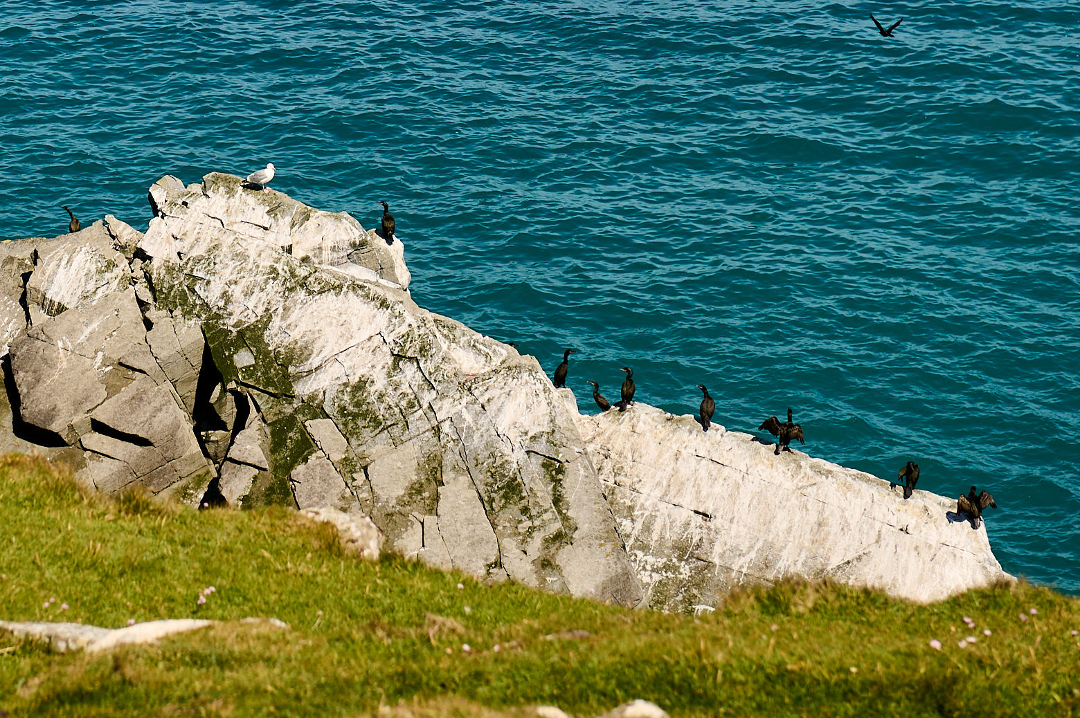
    The Mousa boat was just a shirt drive away and I arrived early enough to see some seals having a little nap right on the historic Sandsayre pier. Some people even walked right to them to take some pictures, I wanted to gíve them some space. And there was also a little museum about the Mousa boat in the old boatshed.

    During the summer the boat crosses the short distance to Mousa once a day and leaved enough time to explore the island before going back three hours later.

    a great day trip to the isle of mousa in shetland

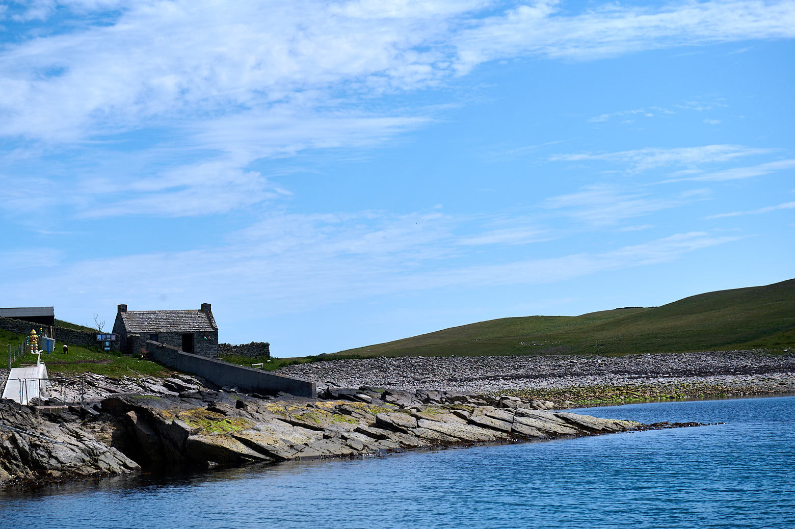
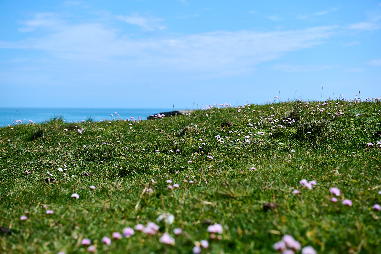
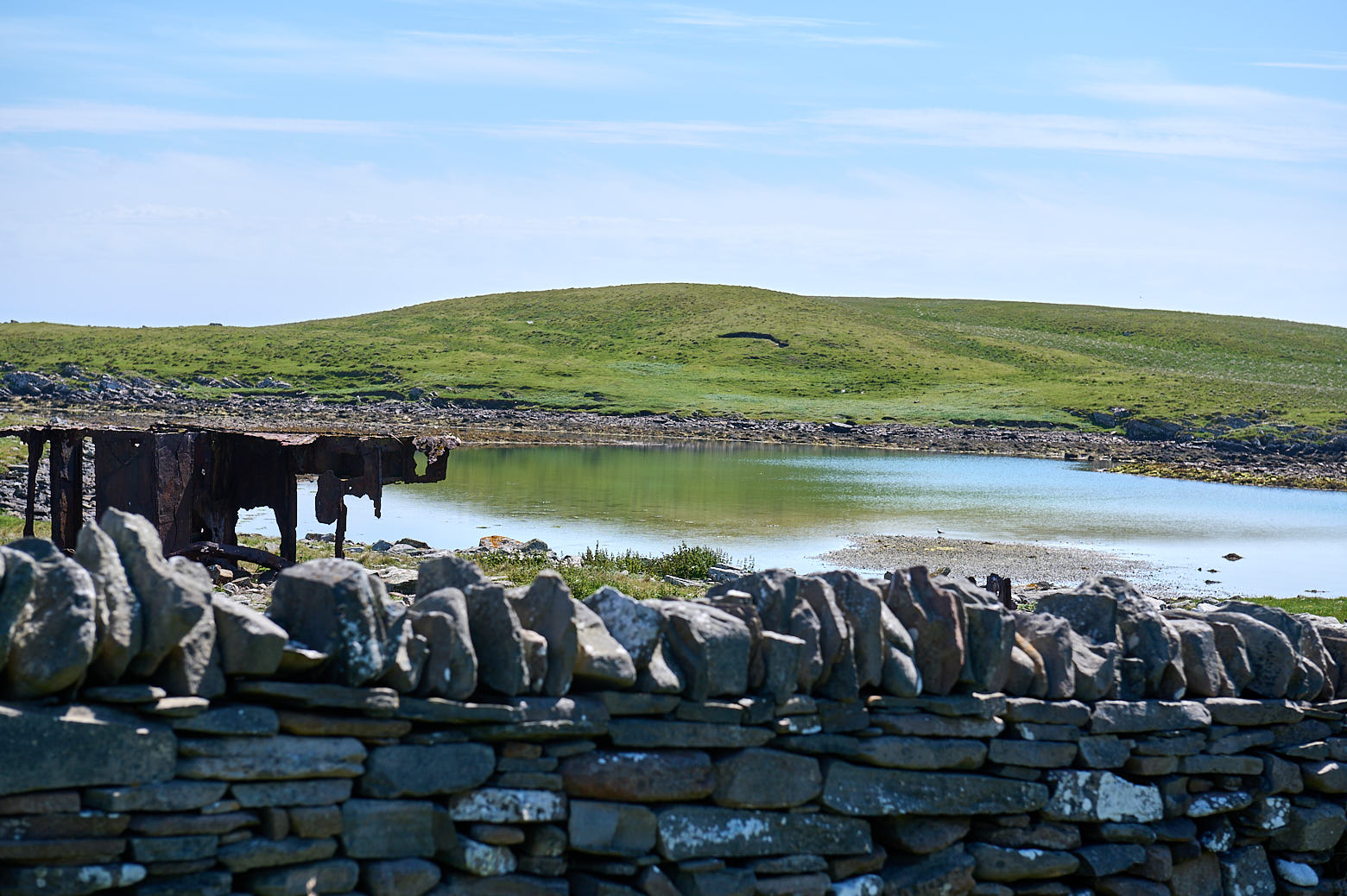
    Mousa is 1,5 miles long and around 1 mile wide, there is a lovely circular path following the coast line. Mousa Broch is the best preserved broch in the British Isles. A broch is a Iron Age fortification, a kind of tower to live in, often surrounded by a village.

    a great day trip to the isle of mousa in shetland

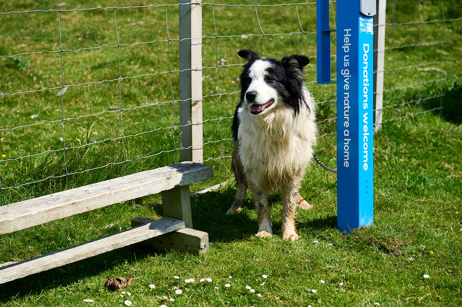
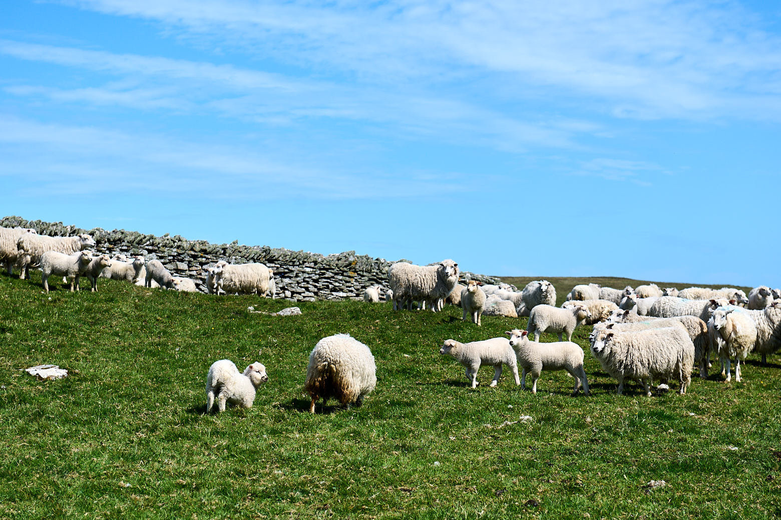
    Upon arrival we were greeted by some lovely dogs and lots of very loud sheep, who were in the middle of getting sheared and seemed not too happy about that.

    a great day trip to the isle of mousa in shetland

    Besides all the sheep Mousa is a known breeding ground for little birds called storm-petrels who live in stone walls and also for grey and common seals, black guillemots and Arctic terns.

    The circular coastal and moorland walk around the RSPB reserve starts right by the landing and shouldn´t be left to not disturb the breeding birds.

    a great day trip to the isle of mousa in shetlanda great day trip to the isle of mousa in shetland

    a great day trip to the isle of mousa in shetlanda great day trip to the isle of mousa in shetland

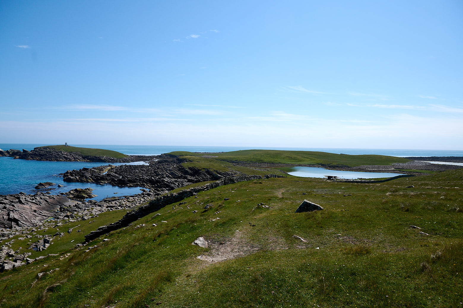
    My first “sight” was the lighthouse and the East Pool where the path continue around. Lots of the other visitors had already stopped for a picknick or little break and I almost felt as I was the only person on the island.

    a great day trip to the isle of mousa in shetland

    To be continued…


  • St. Ninian´s

    On my way home from Jarlshof I made one further stop – at St. Ninian´s Isle. St. Ninian´s Isle is a small tidal island on the south-western coast of Shetland and connected to mainland Shetland with a “tombolo”.

    Looking over to St. Ninians Isle in Shetland.

    A tombolo is a narrow piece of sand connecting an island to the mainland – the tombolo or locally known as “ayre” connecting St. Ninian´s Isle to mainland Shetland is the biggest one in the UK.

    The causeway is usually covered by the sea in the wintertime with waves crashing over it and “returns” in spring to let walkers cross it to the island.

    Looking over to St. Ninians Isle in Shetland.
    View from St. Ninian´s Isle towards the mainland.

    A small chapel from the 12th century or better said the ruins of a small chapel dedicated to Shetland’s patron saint, St. Ninian of Galloway can be found at the end of the causeway, but somehow I missed it. I walked to the isle and up a bit, but decided to return another time for the circular walk as it was already late in the day.

    Looking over to St. Ninians Isle in Shetland.

    But under the chapel, there were already older buildings, Neolithic graves have been found under the (former) floor of the chapel.

    In 1958, an excavation found a hoard of 8th century silver in the chapel grounds under a stone slab in a wooden box, which caused a renewed archaeological interest in the island. (St. Ninian´s Isle)

    28 Pictish silver objects and the jaw bone of a porpoise were buried under a cross-marked slab close to the altar. It might have been buried there to hide it or stolen from a Viking raid. The remains of a pre-Norse chapel were also found.

    Looking over to St. Ninians Isle in Shetland.

    Shetland was formed after the glacial times,

    Spits, bars and ayres or tombolos are characteristic of the inner coast and voes of Shetland. They are typical of submerging coastlines. Today in Shetland you are never more than 5km from the sea but it wasn’t always like this. During glacial times, a large amount of water was locked away as ice, making sea levels considerably lower. Only when the ice began to melt some 12,000 years ago did the seas begin to rise. (Shetland Heritage)

    Much of Shetland was flooded as the lower ends drowned in the sea and the many sea inlets,  the ‘voes’ now so characteristic for Shetland, were formed. It was also the rising sea levels that formed the causeways and stunning sandy beaches.

    Looking over to St. Ninians Isle in Shetland.

    It doesn´t get dark in Shetland in the summer, it was late evening already and after a short break on this bench, it was time to go home for the day.


  • West Voe Beach

    West Voe beach near Sumburgh Shetland in Scotland, white sands and turquoise water.

    The beaches in Scotland will never cease to amaze me – white sand and crystal clear turquoise water.

    West Voe beach near Sumburgh Shetland in Scotland, white sands and turquoise water.

    I just had to walk or better-said drive around the corner from Jarlshof to West Voe beach. On the left side of the photo, you see the lighthouse at Sumburgh Head in the back and just endless waves straight ahead.

    West Voe beach near Sumburgh Shetland in Scotland, white sands and turquoise water.

    It is a stunning beach and offers a beautiful walk but one has to say it is not the quietest one. At least not while I was there. West Voe beach is right next to Shetland´s airport and helicopters were flying in and out.

    West Voe beach near Sumburgh Shetland in Scotland, white sands and turquoise water.

    It might look like a Caribbean beach but probably felt a bit colder, the water was really nice though!

    West Voe beach near Sumburgh Shetland in Scotland, white sands and turquoise water.