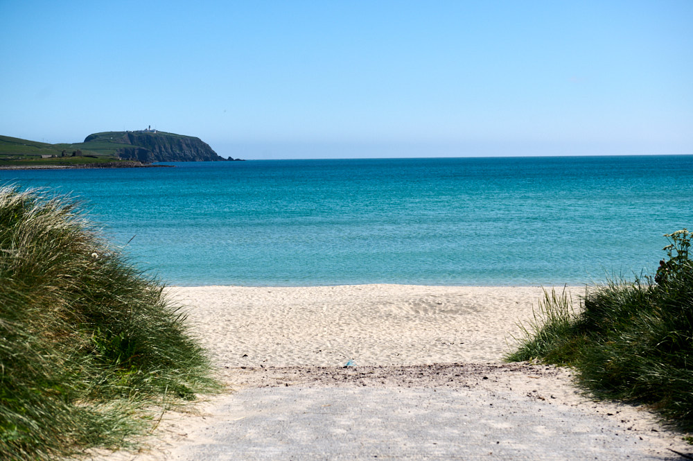
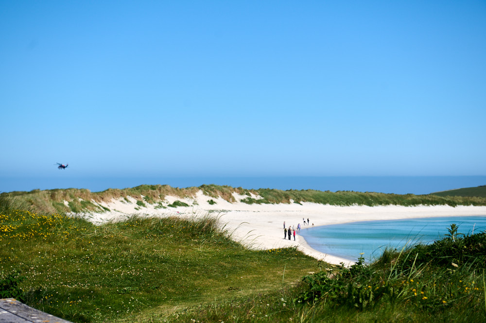
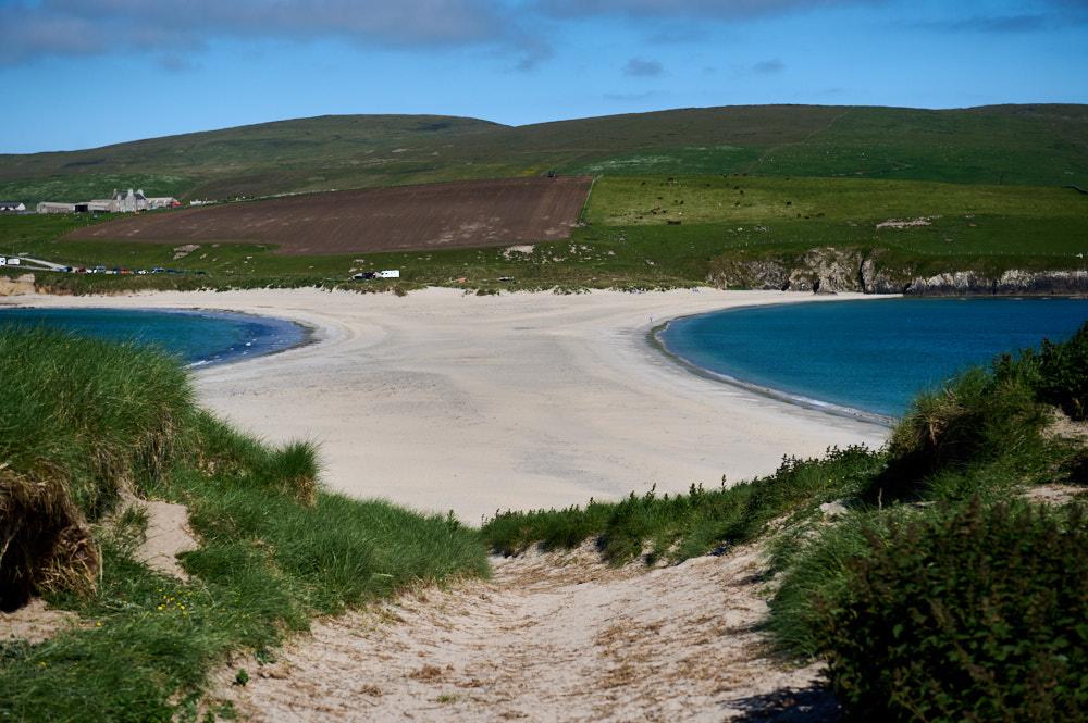
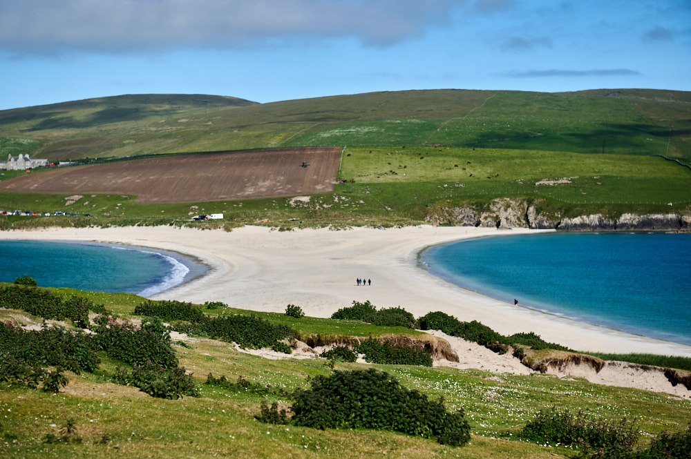
On my way home from Jarlshof I made one further stop – at St. Ninian´s Isle. St. Ninian´s Isle is a small tidal island on the south-western coast of Shetland and connected to mainland Shetland with a “tombolo”.
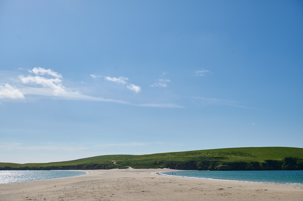
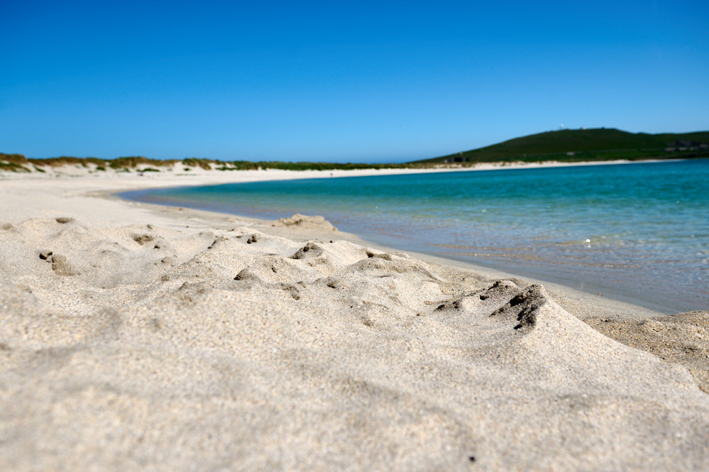
A tombolo is a narrow piece of sand connecting an island to the mainland – the tombolo or locally known as “ayre” connecting St. Ninian´s Isle to mainland Shetland is the biggest one in the UK.
The causeway is usually covered by the sea in the wintertime with waves crashing over it and “returns” in spring to let walkers cross it to the island.
A small chapel from the 12th century or better said the ruins of a small chapel dedicated to Shetland’s patron saint, St. Ninian of Galloway can be found at the end of the causeway, but somehow I missed it. I walked to the isle and up a bit, but decided to return another time for the circular walk as it was already late in the day.
But under the chapel, there were already older buildings, Neolithic graves have been found under the (former) floor of the chapel.
In 1958, an excavation found a hoard of 8th century silver in the chapel grounds under a stone slab in a wooden box, which caused a renewed archaeological interest in the island. (St. Ninian´s Isle)
28 Pictish silver objects and the jaw bone of a porpoise were buried under a cross-marked slab close to the altar. It might have been buried there to hide it or stolen from a Viking raid. The remains of a pre-Norse chapel were also found.
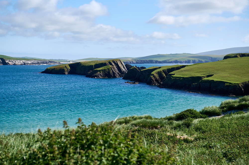
Shetland was formed after the glacial times,
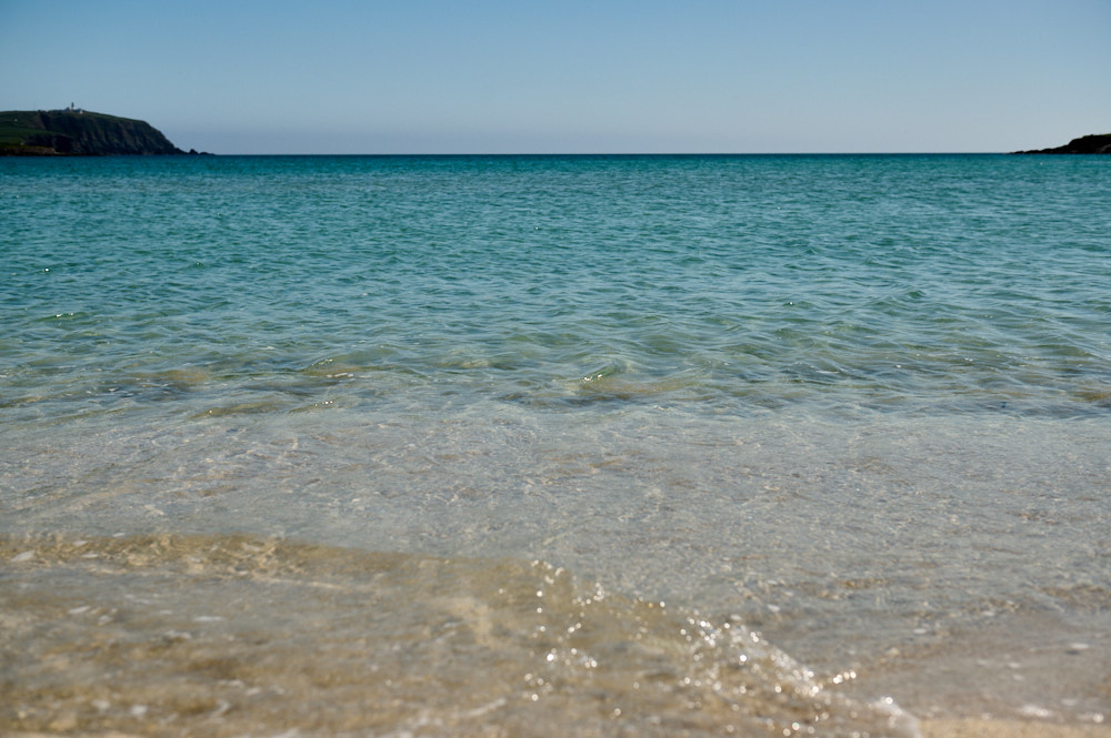
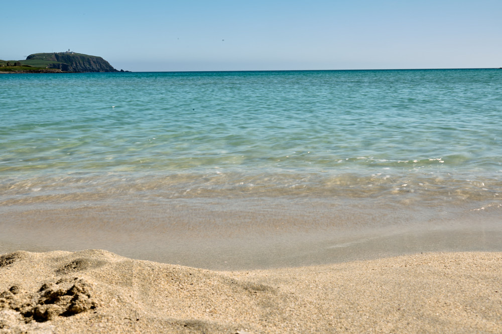
Spits, bars and ayres or tombolos are characteristic of the inner coast and voes of Shetland. They are typical of submerging coastlines. Today in Shetland you are never more than 5km from the sea but it wasn’t always like this. During glacial times, a large amount of water was locked away as ice, making sea levels considerably lower. Only when the ice began to melt some 12,000 years ago did the seas begin to rise. (Shetland Heritage)
Much of Shetland was flooded as the lower ends drowned in the sea and the many sea inlets, the ‘voes’ now so characteristic for Shetland, were formed. It was also the rising sea levels that formed the causeways and stunning sandy beaches.
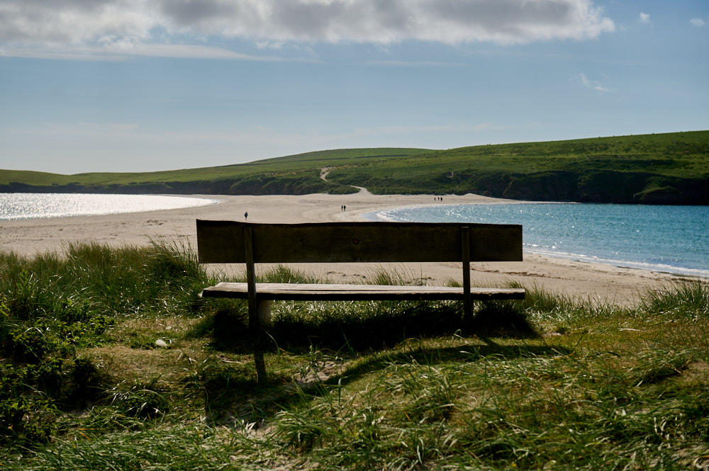
It doesn´t get dark in Shetland in the summer, it was late evening already and after a short break on this bench, it was time to go home for the day.