After spending some time in the Ring of Brodgar, I continued along the road further down south, crossing the Churchill barriers until I arrived at Saint Margaret’s Hope on the island of South Ronaldsay.
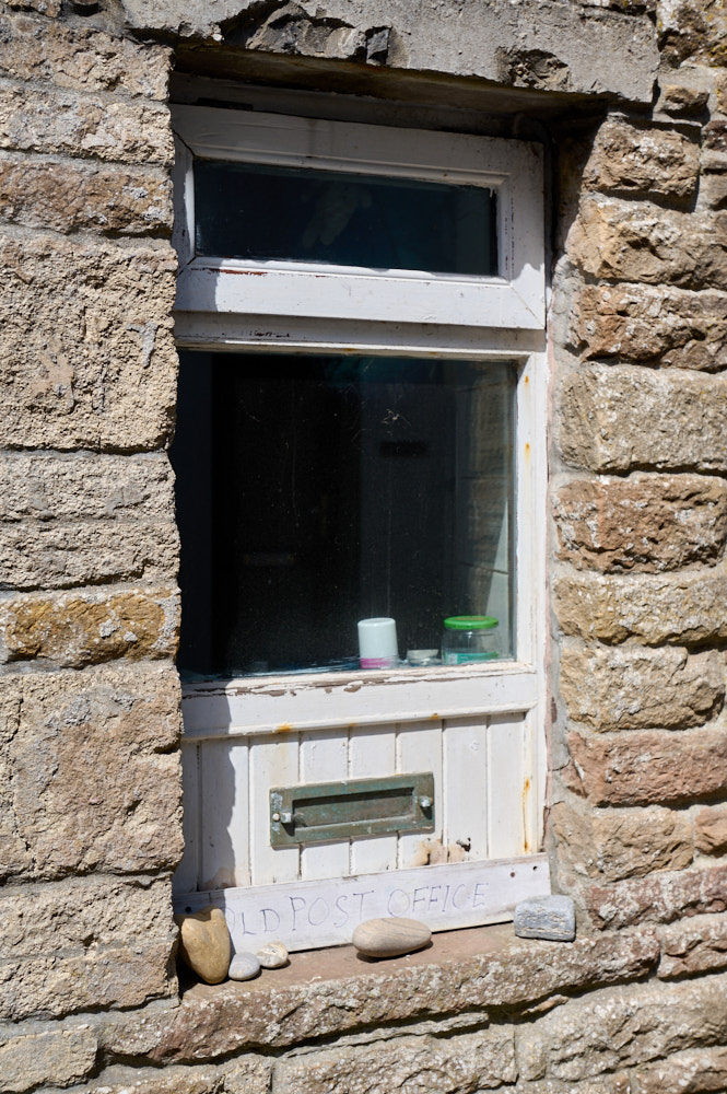
St. Margarets Hope is the third largest settlement in Orkney and it is a lovely little town down in the south.
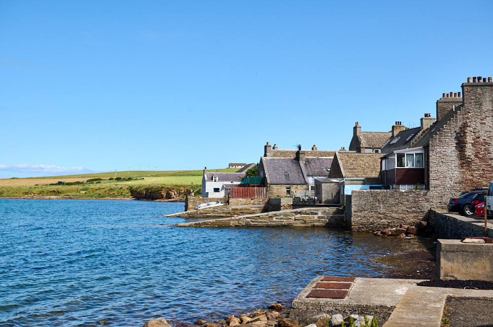
Having the sea as your back garden – walking around the picturesque streets of St Margarets´s Hope.
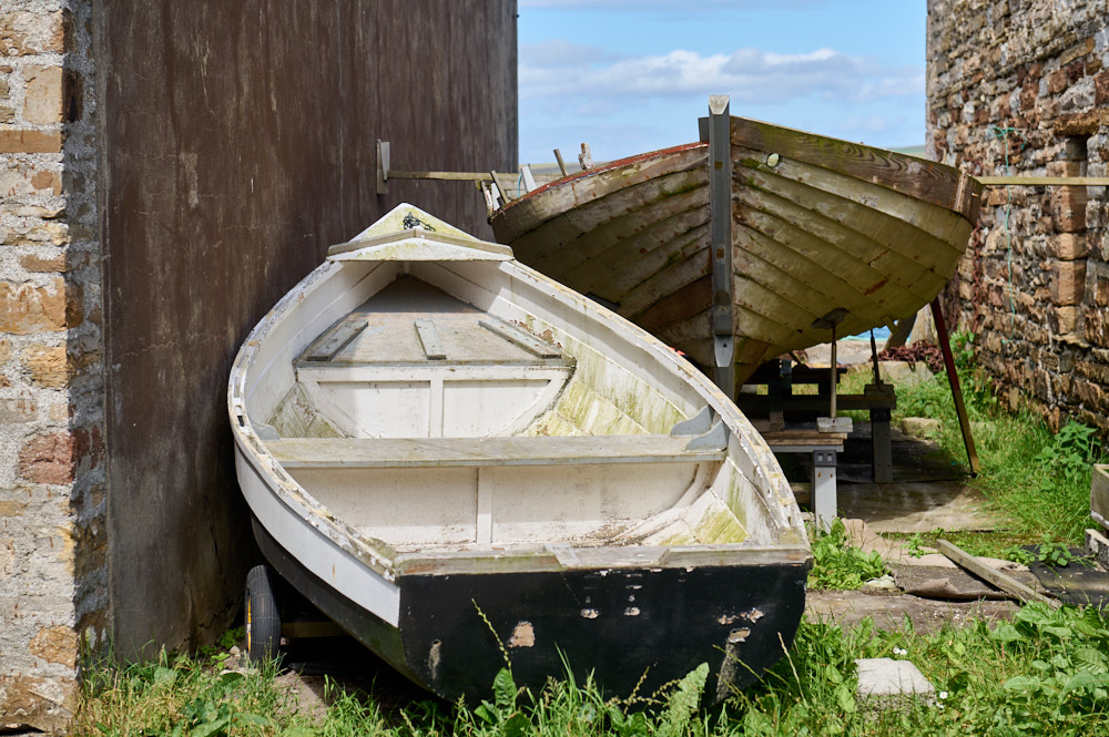
It was probably named after Malcolm III’s wife, who became St Margaret after her death in 1093. (Undiscovered Scotland)
There is also a little chapel dedicated to St. Margaret. But it might also be a different Margaret who named the town. In 1290 Margaret, Maid of Norway sailed from Norway to England to marry Edward, the son of Edward I of England but her boat got off course and landed in St Margaret´s Hope in Orkney, where the eight-year-old Margaret died from the effects of sea sickness.
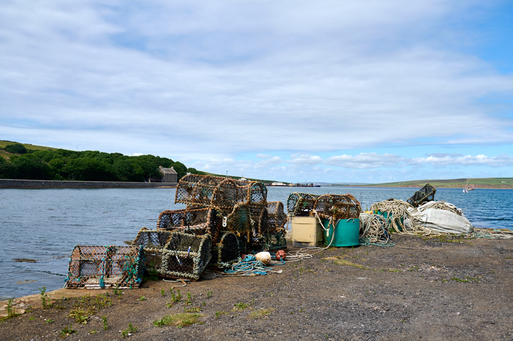
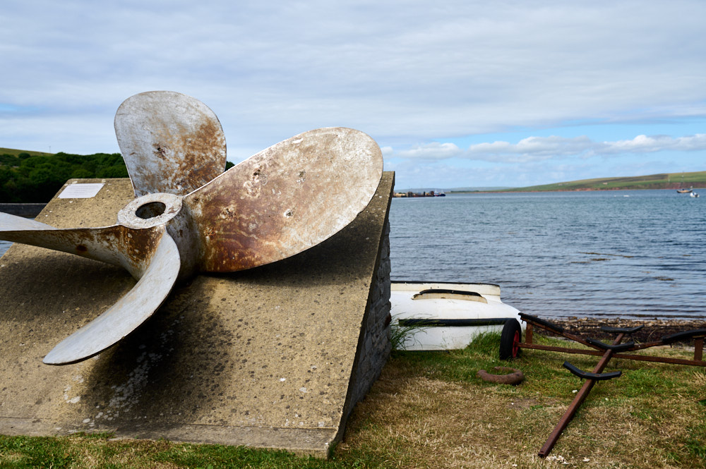
Churchill barriers
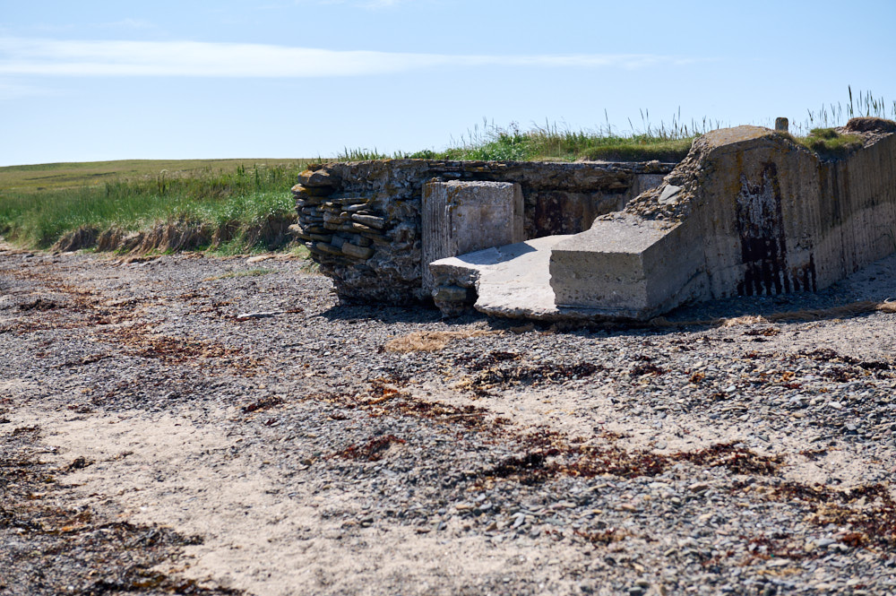
The Churchill Barriers are 4 causeways with more than 2km. They link the Orkney Mainland in the north to the island of South Ronaldsay via Burray[2] and the two smaller islands of Lamb Holm and Glimps Holm. Built between 1940 and 1944 as naval defences to protect the anchorage at Scapa Flow, but also became links between the islands in 1945.
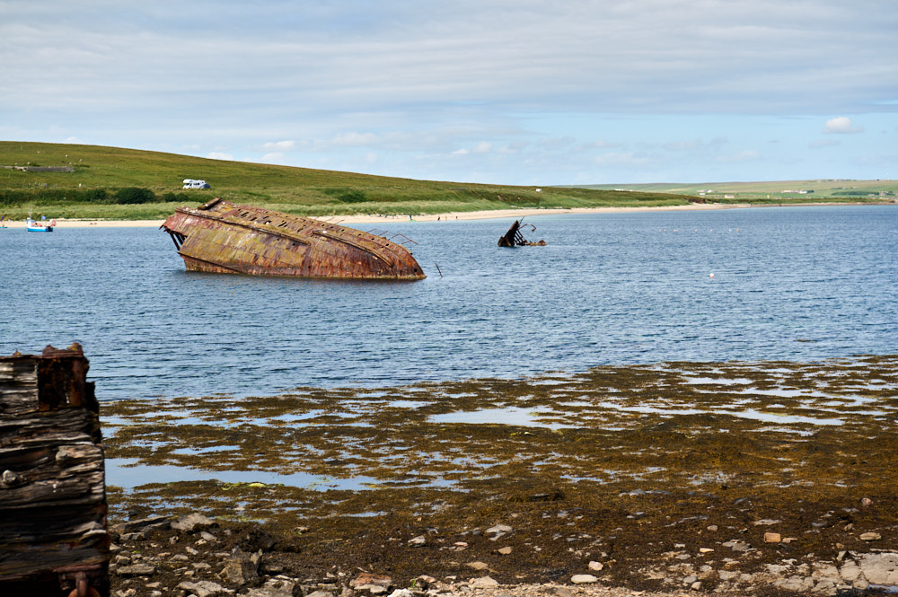
It was the sinking of HMS Royal Oak more than 80 years ago that set in motion plans to build these four concrete causeways. A German U-boat crawled into Scapa Flow in October 1939 and fired torpedoes at the slumbering battleship, resulting in the loss of 834 lives. (Orkney.com)
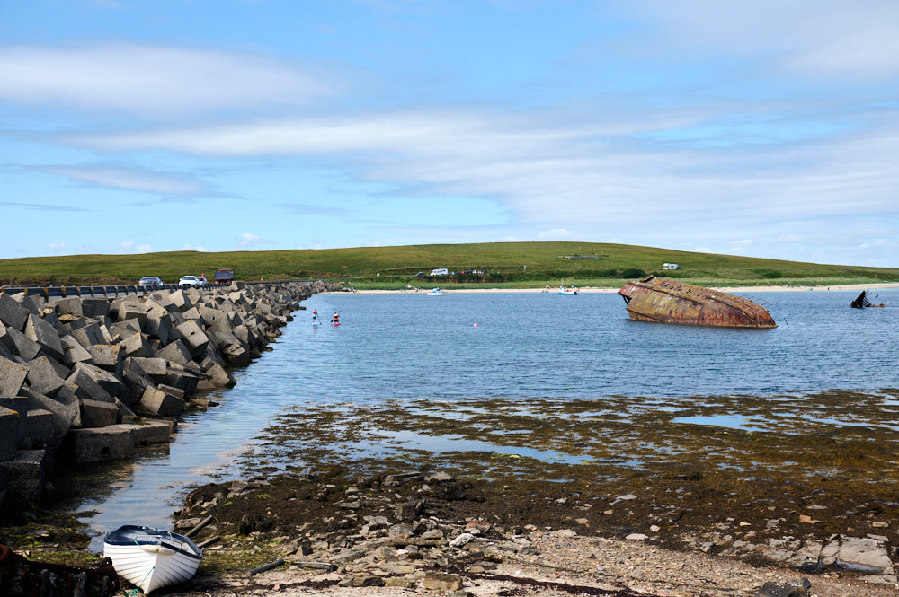
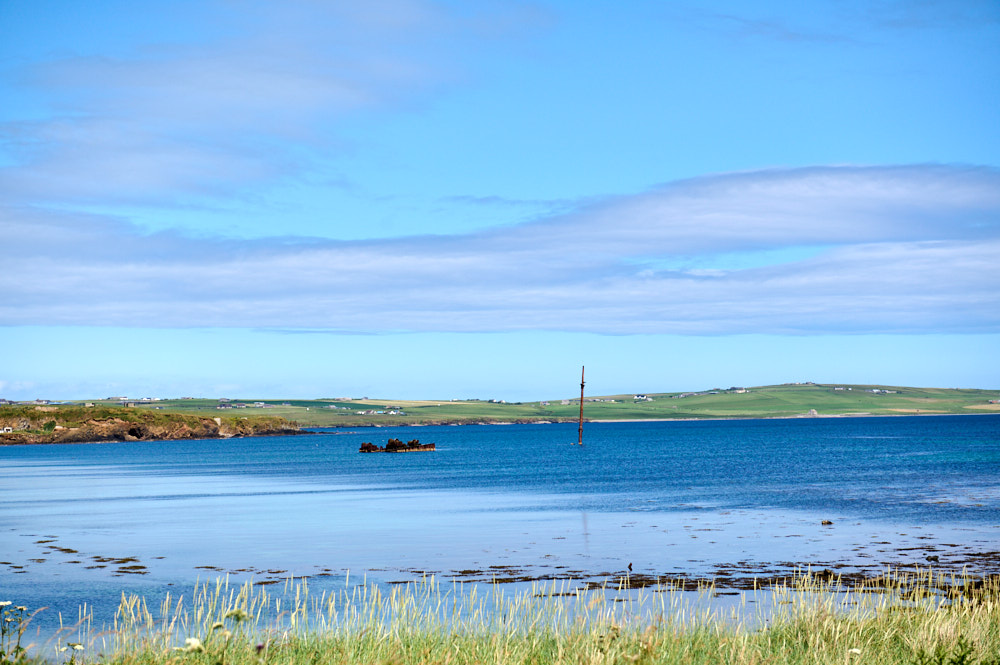
Besides the barriers, one can still see the wrecks of blockships previously used to block the channels into Scapa Flow en route. And there are stunning beaches filled with Orkney pepples.
Leave a Reply