Category: Nature

  • Duncansby Head

    Duncansby Head is the most northeasterly part of the British mainland and offers an amazing view!
    View towards Orkney

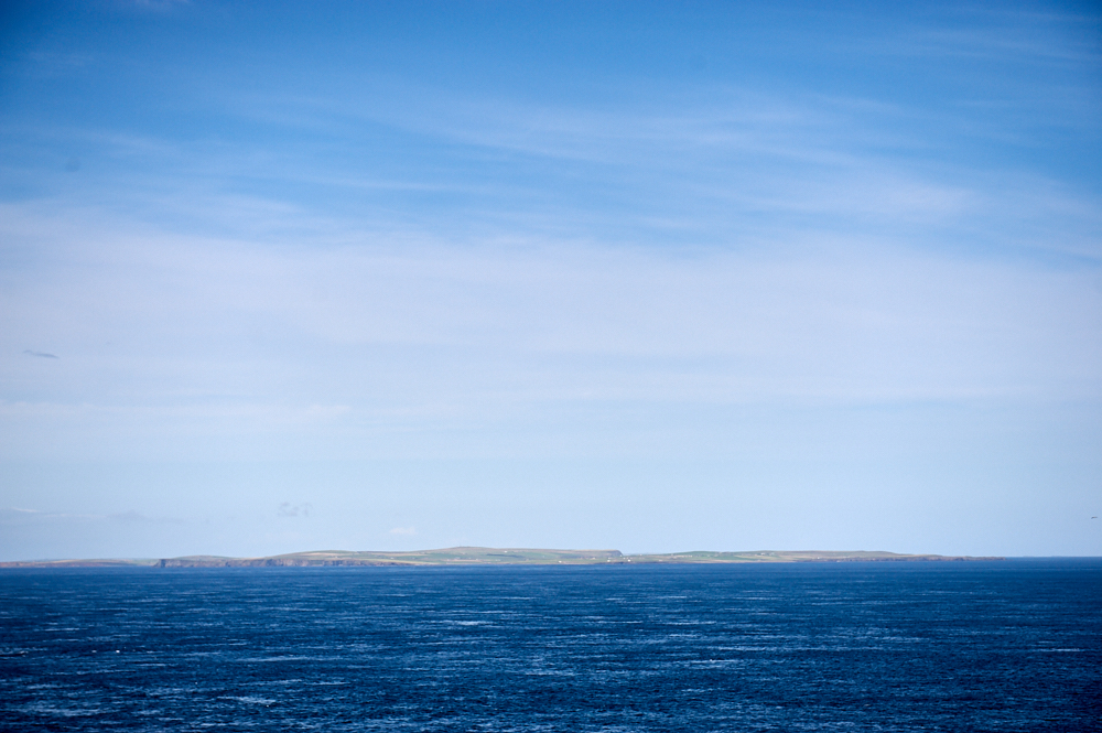
    Duncansby Head – the most northeastern point of mainland Scotland. And while looking towards Orkney, it was the moment I decided my next Scottish summer will be spent on the islands (we will see if it will happen this year like planned or if I´ll have to postpone a year). But back to that sunny afternoon at Duncansby Head.

    This beautiful spot is often overshadowed by John o´Groats, it´s westerly neighbour, which is just a bit more famous.

    Duncansby Head is the most northeasterly part of the British mainland and offers an amazing view!

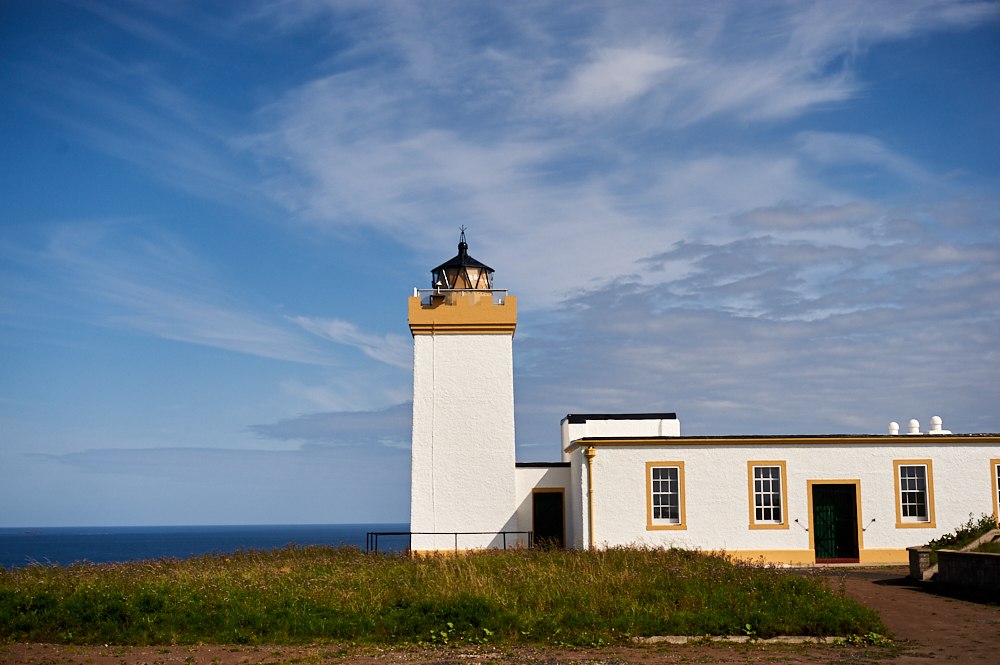
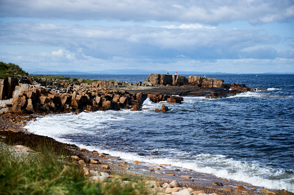
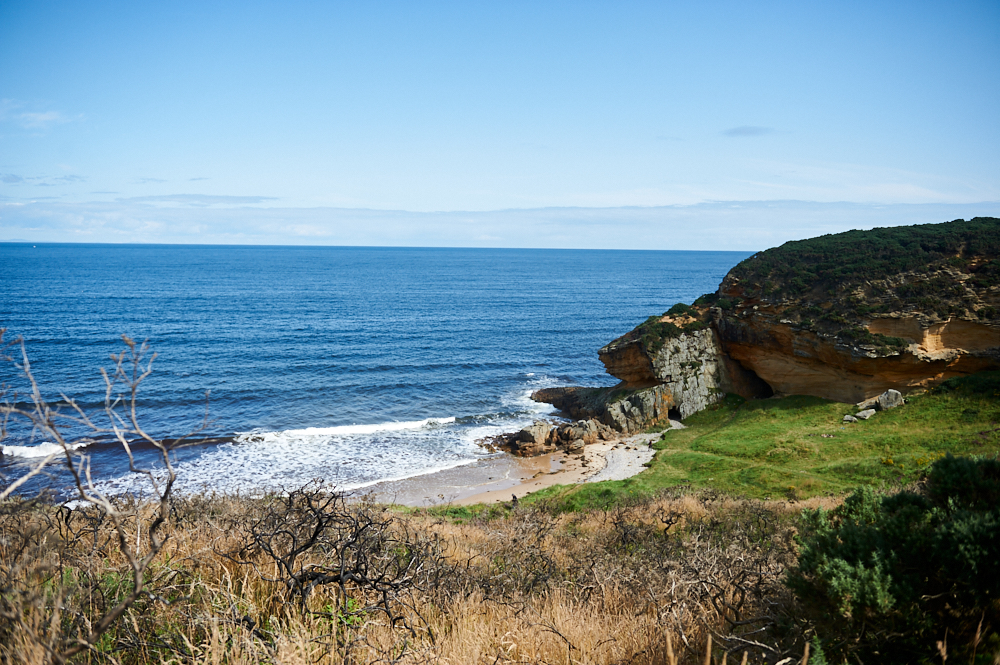
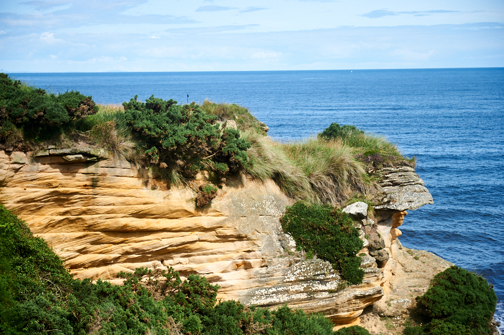
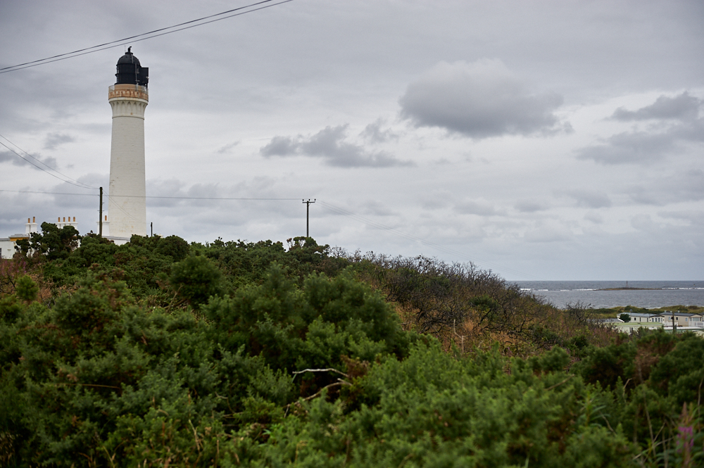
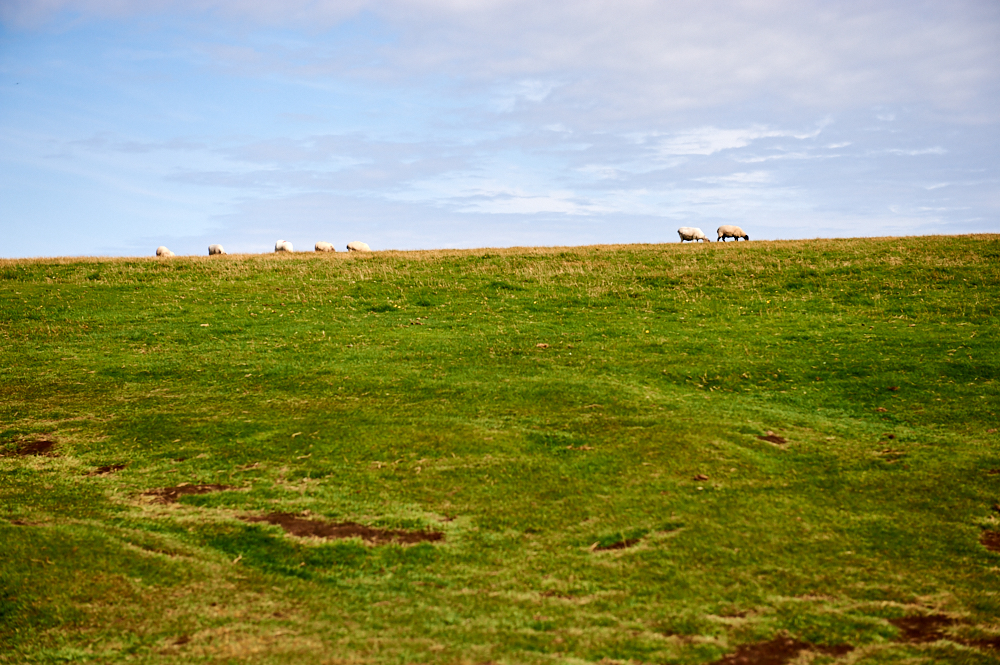
    Duncansby Head sits on top high cliffs and is the home of a lighthouse, built in 1924, lots of sheep and several bird colonies.

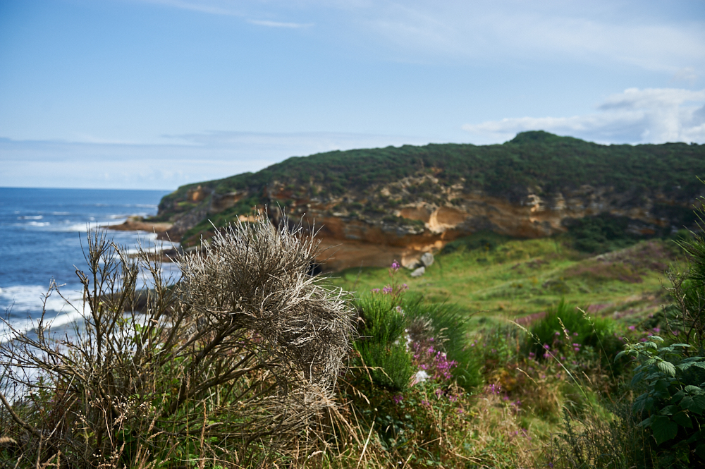
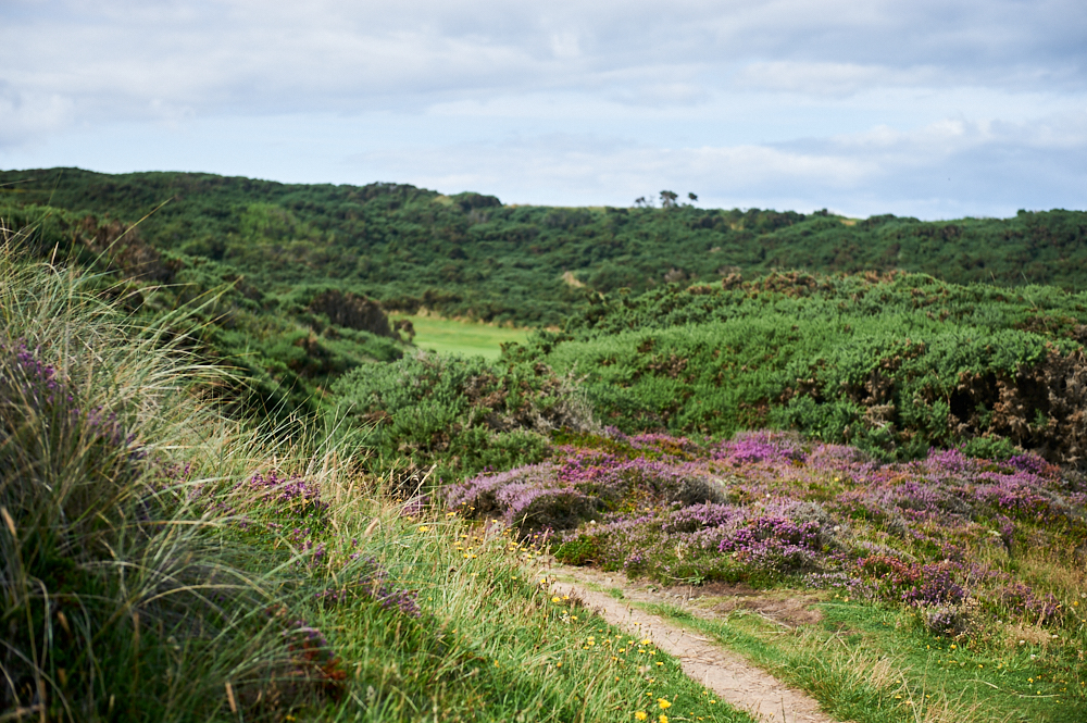
    The view towards Orkney and also John o`Groats is absolutely stunning, but don´t get back into your car yet. Take a walk over the little hill towards the cliffs on the other side. The sheep will ignore you.

    Duncansby Head is the most northeasterly part of the British mainland and offers an amazing view!

    Duncansby Head is the most northeasterly part of the British mainland and offers an amazing view!

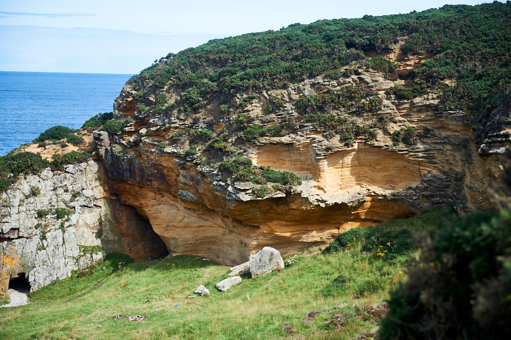
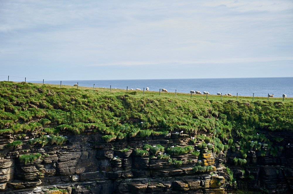
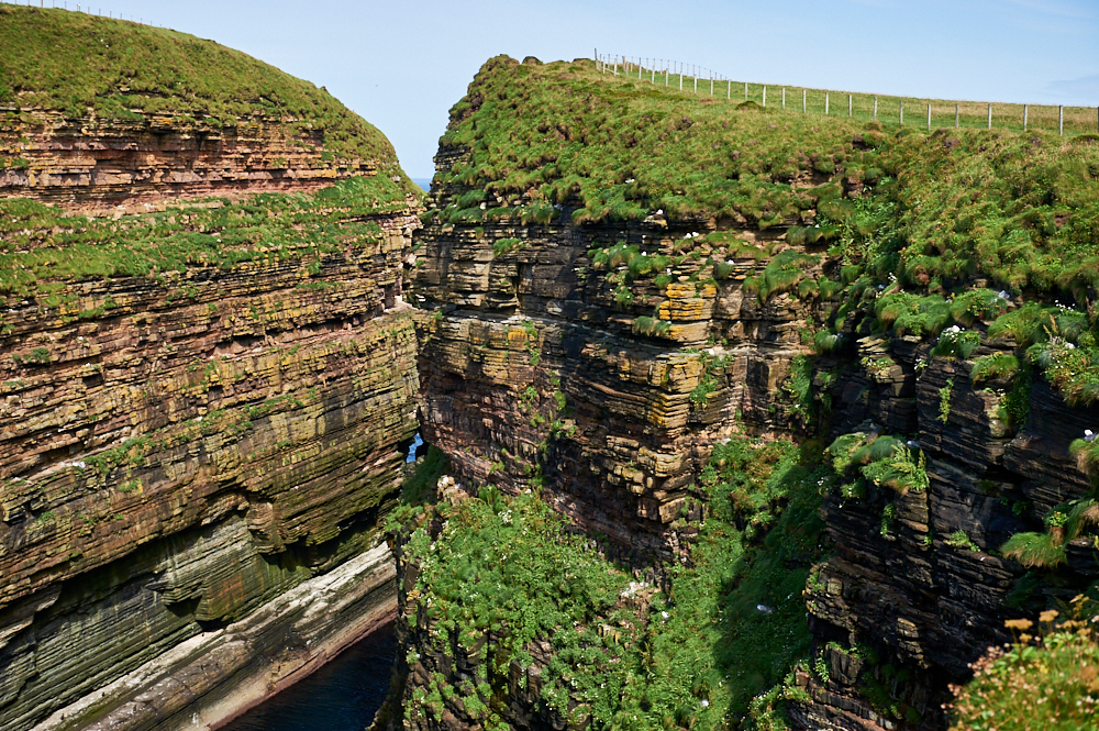
    This little walk will bring you to Geo of Sclaites, a big split into the cliffs and the home of thousands of birds.

    Duncansby Head is the most northeasterly part of the British mainland and offers an amazing view!Duncansby Head is the most northeasterly part of the British mainland and offers an amazing view!

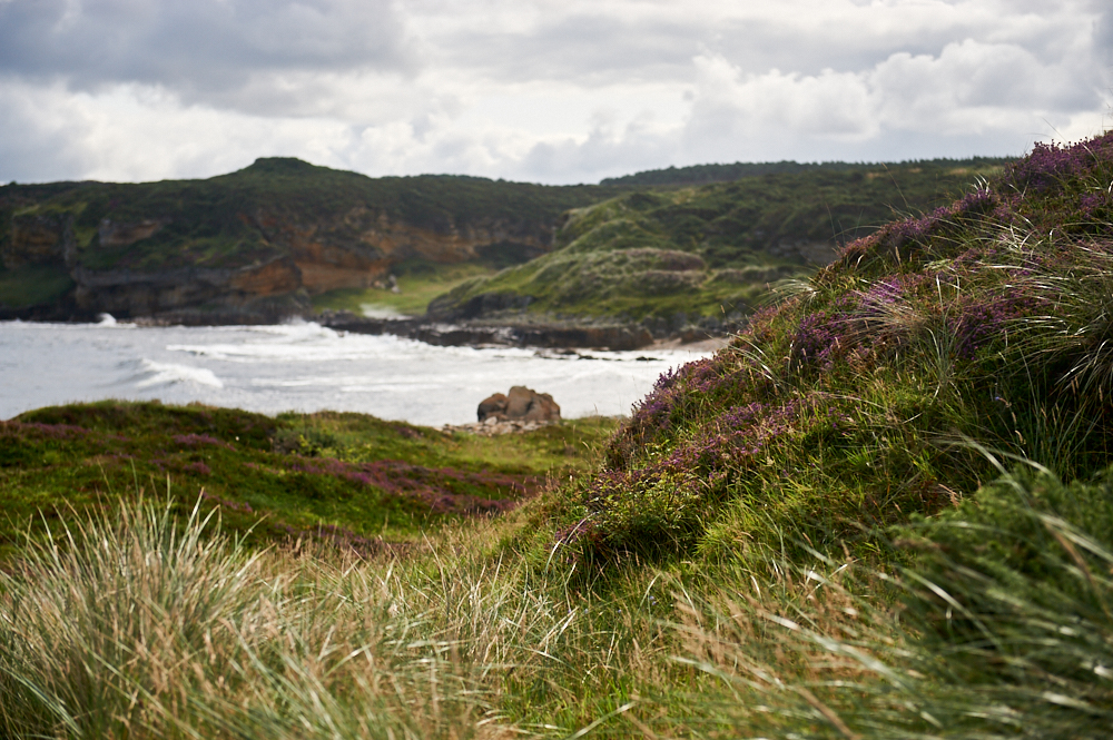
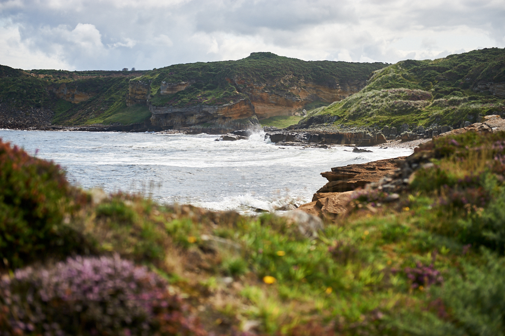
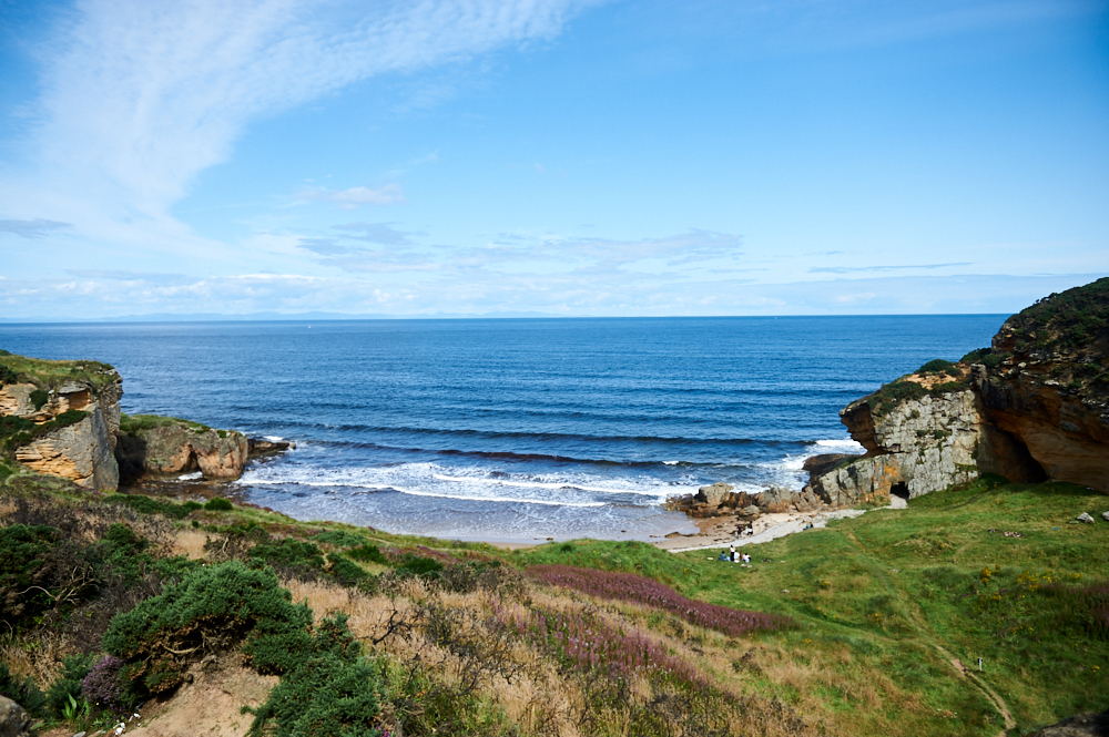
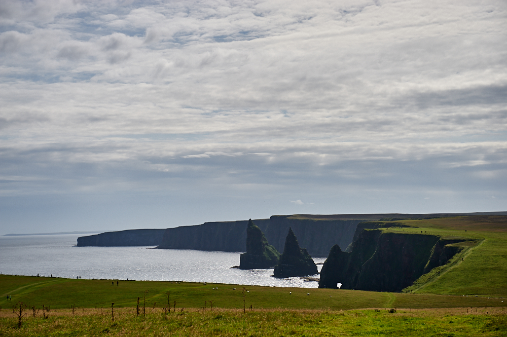
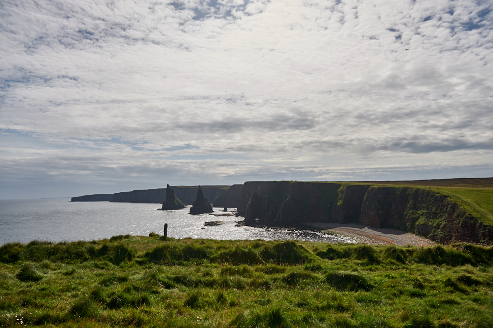
    The next highlight was already visible from the top of the hill, the stunning view south to Thirle Door and the Stacks of Duncansby. A rocky arch and a group of large jagged sea stacks.
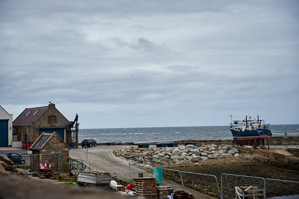
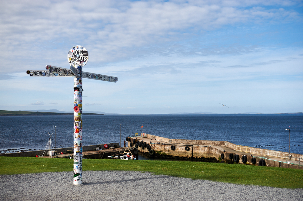
    Duncansby Head is the most northeasterly part of the British mainland and offers an amazing view!

    John o´Groats

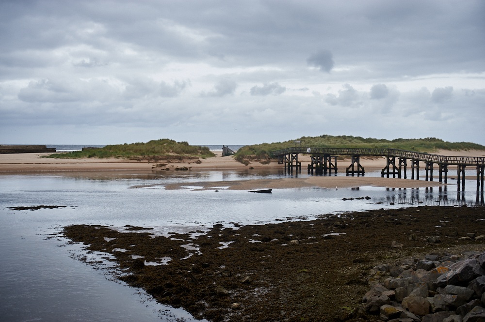
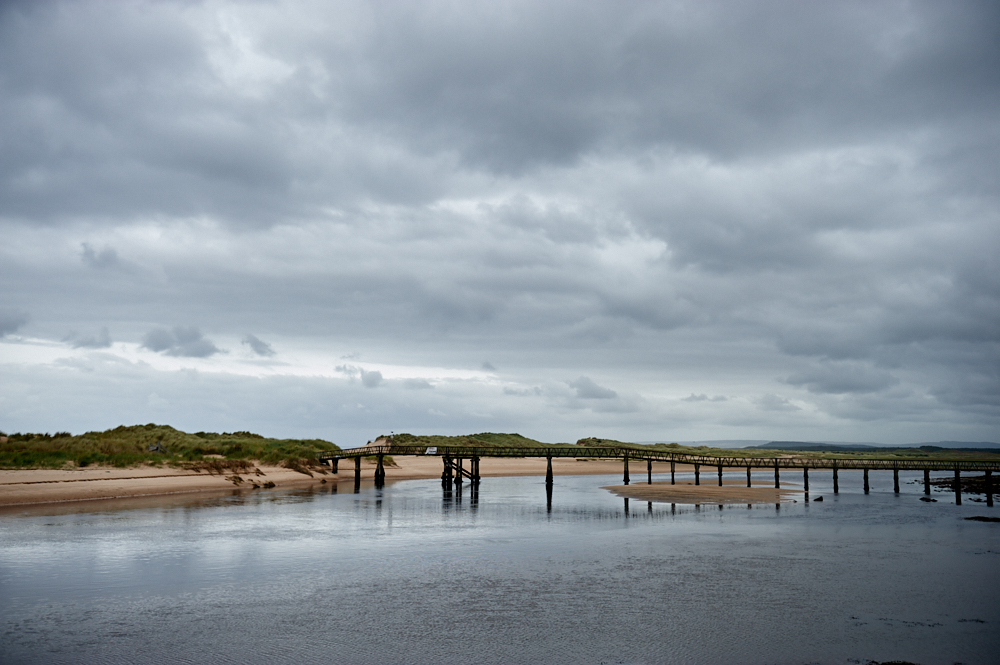
    I made my way back along the single track road and also did a short stop in John o`Groats. It is a distance of 876 miles from here to Land´s End, the most southwestern point of mainland UK in Cornwall.

    Duncansby Head is the most northeasterly part of the British mainland and offers an amazing view!

    Duncansby Head is the most northeasterly part of the British mainland and offers an amazing view!

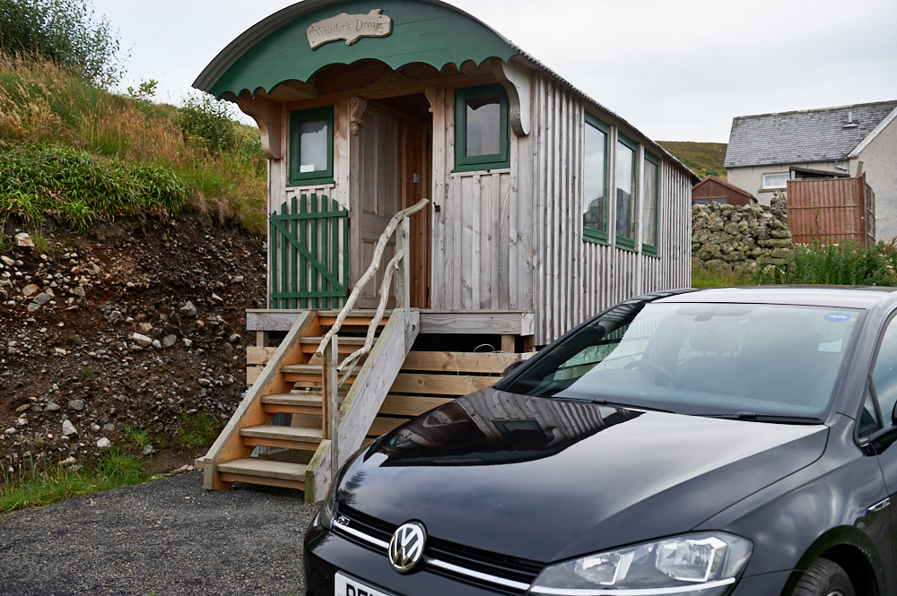
    The hut at the end of the road

    In the late afternoon, I arrived at my home for the next three days, the hut at the end of the road, near Tongue.

    My home at the End of the road near Tongue

  • Clashach Cove

    Walking the Moray Coastal Walk between Hopman and Clashach Cove
    Hopeman Ice House

    In a time when we shouldn´t go outside I would like to invite you to a virtual walk along the Moray Coastal Walk. Switch on the sound of the Scottish Coast here: Sounds of Scotland and let´s start!

    Moray Coast Trail

    Beginning inland at the fine country town of Forres, it soon hits the coastline at Findhorn, famed for its eco-community. From here the coastal walking begins across the forested back of the vast Burghead Bay.

    The section from Burghead to Lossiemouth has some superb clifftop walking with great seaviews. Further on is Spey Bay, renowned for its dolphins, the ship-building heritage of Buckie and finally a string of picturesque former fishing villages leads on to Cullen, just over 72km from the start. (Walkhighlands)

    Walking the Moray Coastal Walk between Hopman and Clashach Cove

    I started at Hopeman Beach and walked in direction of Lossiemouth with Clashach CoCoveve (Cove Bay) as my destination. Passing by the colourful beach-huts I took a different path than all the other times walking along the beach.

    Walking the Moray Coastal Walk between Hopman and Clashach Cove

    Slowly climbing up the cliffs..

    Walking the Moray Coastal Walk between Hopman and Clashach CoveWalking the Moray Coastal Walk between Hopman and Clashach CoveWalking the Moray Coastal Walk between Hopman and Clashach CoveWalking the Moray Coastal Walk between Hopman and Clashach Cove

    Until I already saw Clashach Cove, a beautiful secluded beach with a few caves.

    Clashach Cove (Cove Bay)

    Walking the Moray Coastal Walk between Hopman and Clashach Cove

    I went once around the bay and also a bit further towards Lossiemouth but didn’t really found a pathway going down to the beach. I kept looking until I saw a few people back climbing up trough all the bushed and thistles and I didn´t have the right shoes and clothes for that. The path seemed to be hidden very well!

    But the view from above was lovely!

    Walking the Moray Coastal Walk between Hopman and Clashach CoveWalking the Moray Coastal Walk between Hopman and Clashach CoveWalking the Moray Coastal Walk between Hopman and Clashach Cove

    Clashach Cove is an interesting area for geologists, the “old red” sandstone as formed around 360 to 415 million years ago and the “newer” red sandstone is about 200 to 300 million years old.

    The is a quarry behind the bay where sandstone has been extracted for building use since the early 1800s. It was also recently used in the construction of the National Museum of Scotland in Edinburgh, the 9/11 memorial in New York and for Antoni Gaudi’s La Sagrada Familia in Barcelona.

    Walking the Moray Coastal Walk between Hopman and Clashach CoveWalking the Moray Coastal Walk between Hopman and Clashach Cove

    I made my way back towards Hopeman and continued a bit in direction to Burghead.

    Walking the Moray Coastal Walk between Hopman and Clashach CoveWalking the Moray Coastal Walk between Hopman and Clashach CoveWalking the Moray Coastal Walk between Hopman and Clashach CoveWalking the Moray Coastal Walk between Hopman and Clashach CoveWalking the Moray Coastal Walk between Hopman and Clashach CoveWalking the Moray Coastal Walk between Hopman and Clashach Cove

  • Lossiemouth

    Lossiemouth 1

    East Lossiemouth Beach

    Lossiemouth was kind of the neighbouring village of Hopeman and I heard a lot of things about the amazing East Beach, so I definitely had to check it out.

    Lossiemouth 2

    It looked very promising but then the bridge to the beach was closed and the was no other possible way to access it. So I changed my plans and did a walk around Lossiemouth instead.

    Lossiemouth 3

    Lossiemouth is often called the “jewel of the Moray Forth”, surrounded by two stunning beaches, dunes and wonderful landscape. And a lovey town…

    Lossiemouth 4Lossiemouth 5

    Originally the port belonged to Elgin and Lossiemouth became an important fishing town. There have been settlements in the area for around 1000 years, the current settlement developed over the last 250 years.

    The Seatown was established at the end of the 17th century when the old port at Spynie became landlocked. A succession of storms had built up large shingle banks to block the outlet of Loch Spynie to the sea. (Wikipedia)

    Lossiemouth 6Lossiemouth 7

    Lossiemouth 8Lossiemouth 9Lossiemouth 10Lossiemouth 11