Category: Nature

  • Broch of Gurness

    The Broch of Gurness, a village from the Iron Age in Orkney, Sotland.

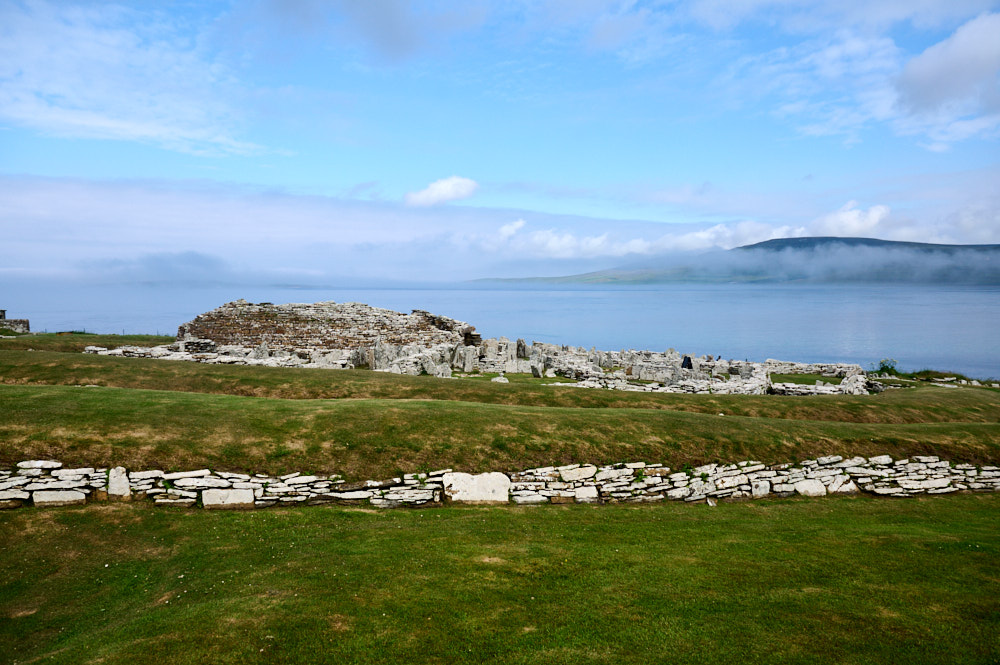
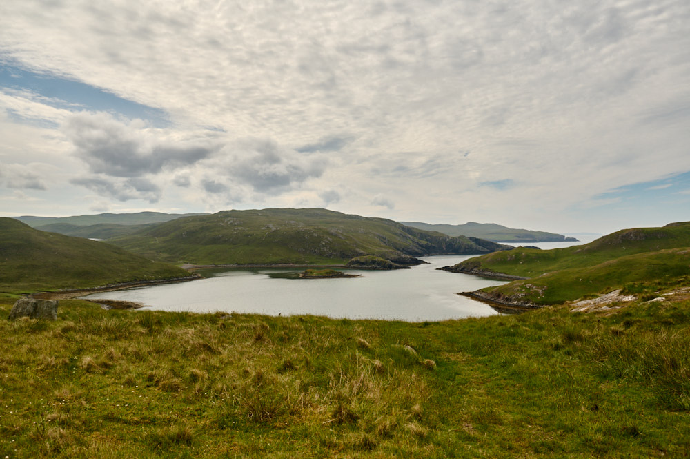
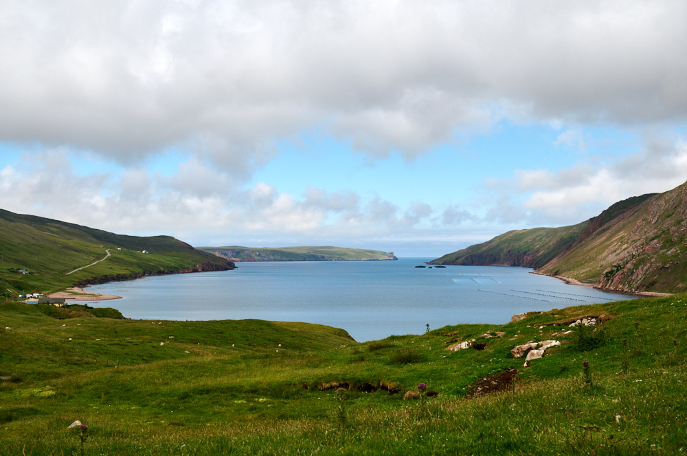
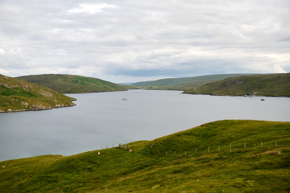
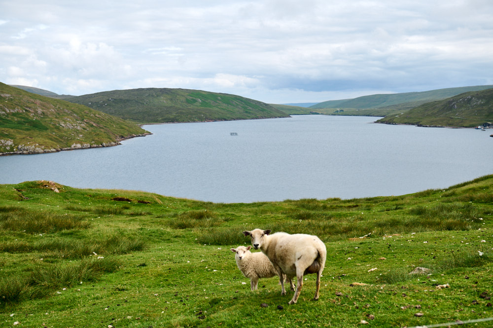
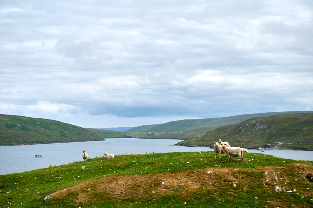
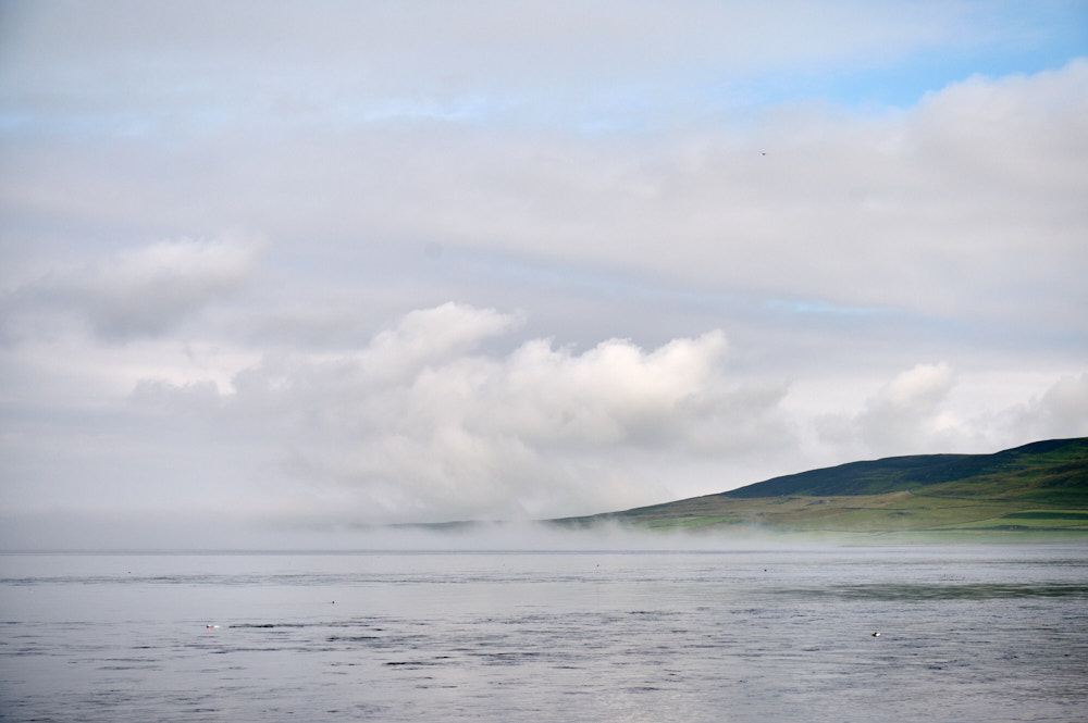
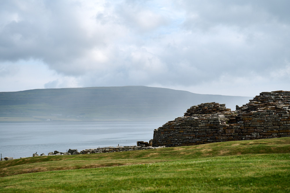
    After driving through the dense fog the night, I was pleasantly surprised by my view the next morning. My lovely little cottage had a beautiful view of the sea and I could even see the Broch of Gurness from there sitting on the coastline vis a vis from the island Rousay.

    The Broch of Gurness, a village from the Iron Age in Orkney, Sotland.

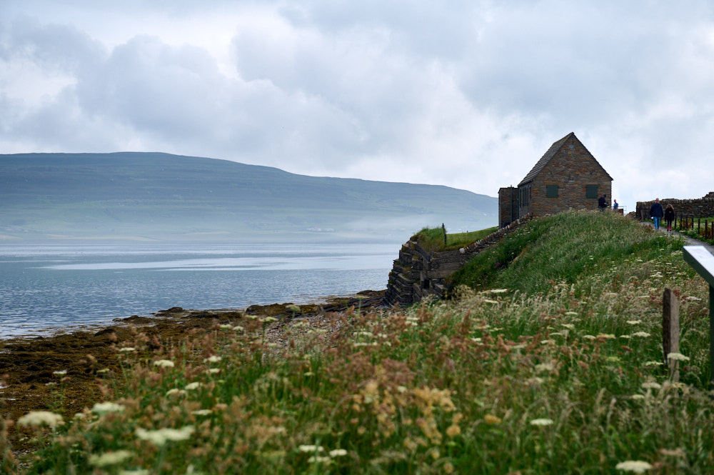
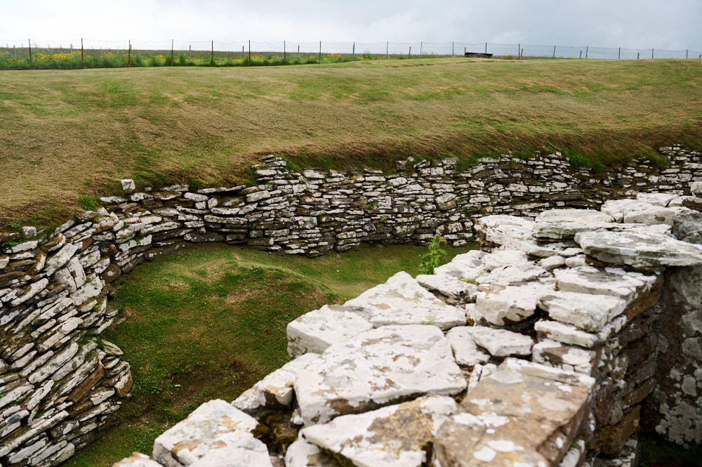
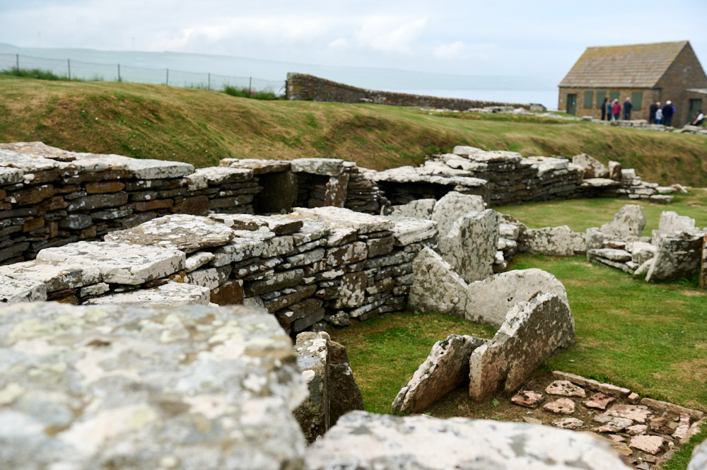
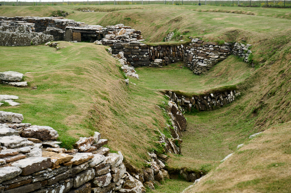
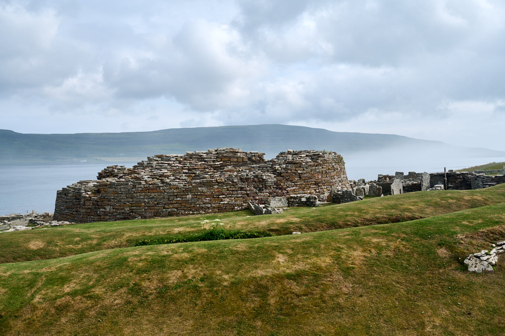
    I already had booked my ticket and started my stay in Orkney with a visit to one of Scotland´s finest broch. The Broch of Gurness was an Iron Age settlement with a small village surrounding a massive broch tower.

    The Broch of Gurness, a village from the Iron Age in Orkney, Sotland.

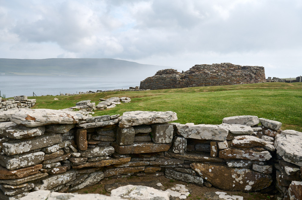
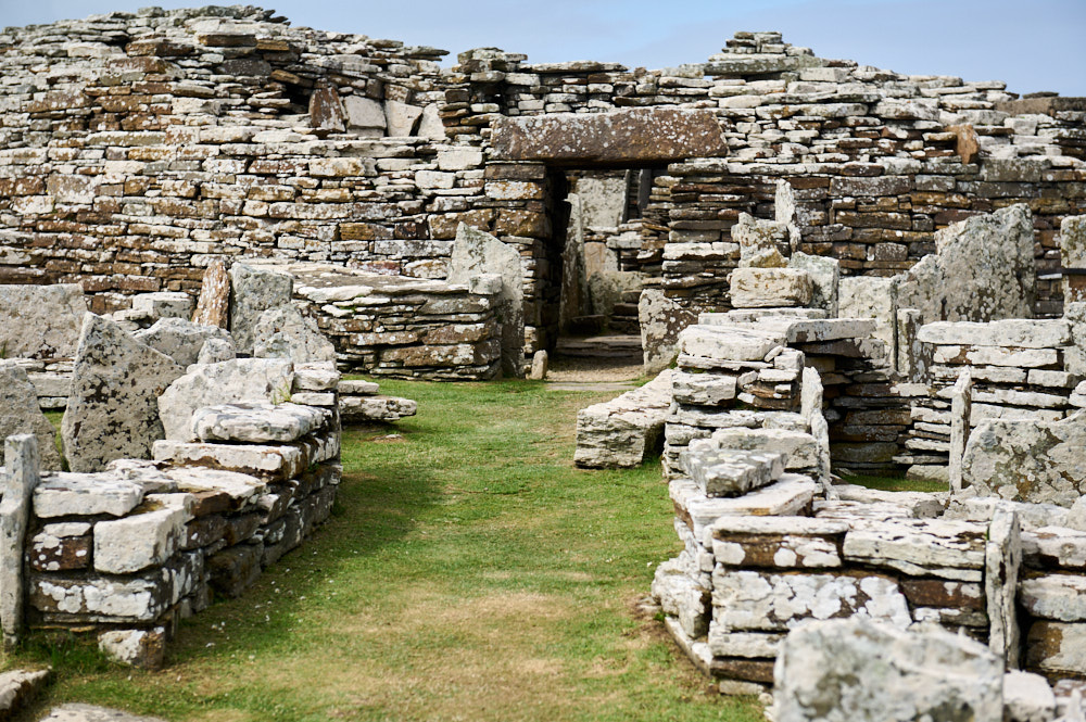
    The first settlement started between 500 and 200 BC, later a causeway was added and the broch was built, surrounded by small stone houses with attached yards and sheds.

    The Broch of Gurness, a village from the Iron Age in Orkney, Sotland.

    But the broch then again was abandoned after 100 AD and the ditches filled in. The site continued as a single farmstead until around the 8th century. In the 9th century, a Viking woman was buried here, which became the last activity on this very spot.

    The Broch of Gurness, a village from the Iron Age in Orkney, Sotland.

    The broch was probably the home of the chief family of the community and probably was also a defensive refuge for the village.

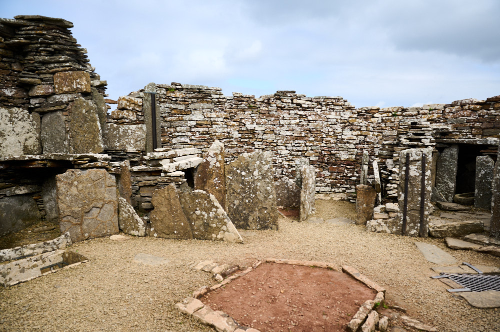
    The broch originally had a central hearth, stone-built cupboards, sunken water basins used as wells but also for rituals, and a stairway going to the upper floors.

    The Broch of Gurness, a village from the Iron Age in Orkney, Sotland.

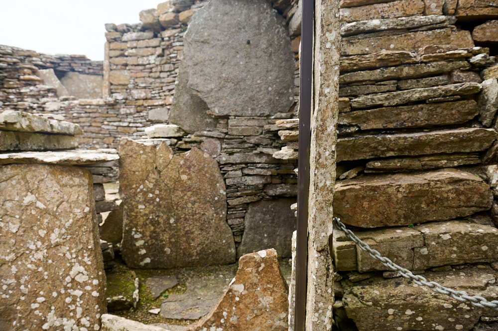
    The broch is surrounded by numerous houses which each had a large living and sleeping room with smaller side rooms. Again we find stone-built cupboards and shelves, sleeping spaces and a large tank set into the floor.

    The Broch of Gurness, a village from the Iron Age in Orkney, Sotland.

    The Broch of Gurness, a village from the Iron Age in Orkney, Sotland.The Broch of Gurness, a village from the Iron Age in Orkney, Sotland.The Broch of Gurness, a village from the Iron Age in Orkney, Sotland.The Broch of Gurness, a village from the Iron Age in Orkney, Sotland.The Broch of Gurness, a village from the Iron Age in Orkney, Sotland.The Broch of Gurness, a village from the Iron Age in Orkney, Sotland.

  • Mavis Grind

    Mavis Grind - the small narrow piece of land connecting the Northmavine to mainland Shetland.

    Mavis Grind – the very narrow strip of land connecting the Northmavine peninsula to mainland Shetland. Mavis Grind means “gate of the narrow isthmus”. An isthmus is a narrow strip of land connecting two larger areas of land across the water.

    Mavis Grind - the small narrow piece of land connecting the Northmavine to mainland Shetland.

    Mavis Grind is just 33 metres wide on its narrowest point. You can throw a stone from the Atlantic on the one side to the North Sea on the other side. Vikings and local fishermen carried their boats over the narrow land to avoid having to sail around the peninsula.

    Mavis Grind - the small narrow piece of land connecting the Northmavine to mainland Shetland.

    A chambered cairn from the Bronze Age was found nearby. I didn´t go there on this day, but did enjoy the view of mainland Shetland.

    Mavis Grind - the small narrow piece of land connecting the Northmavine to mainland Shetland.Mavis Grind - the small narrow piece of land connecting the Northmavine to mainland Shetland.Mavis Grind - the small narrow piece of land connecting the Northmavine to mainland Shetland.Mavis Grind - the small narrow piece of land connecting the Northmavine to mainland Shetland.

    Mavis Grind – the narrowest point.

  • Ronas Hill & The Hollanders Grave

    Driving along Ronas Hill in the Northmavine in Shetland.

    On my last day in the Northmavine in the northern part of Shetland, I thought about climbing Ronas Hill, the highest point in Shetland, a classed Marilyn. (A “Marilyn” is defined as a peak with at least 150 metres or more.)

    But in the end, I got discouraged by the dark clouds and decides to drive along Ronas Hill searching for “The Hollanders Grave”.

    Driving along Ronas Hill in the Northmavine in Shetland.

    Driving along Ronas Hill in the Northmavine in Shetland.

    The Hollanders Grave is a mass grave dating from the Anglo-Dutch war in 1674 somewhere opposite Ronas Hill. I didn´t really find the grave or better said the memorial for it, but it was a beautiful drive and walk.

    Driving along Ronas Hill in the Northmavine in Shetland.Driving along Ronas Hill in the Northmavine in Shetland.Driving along Ronas Hill in the Northmavine in Shetland.Driving along Ronas Hill in the Northmavine in Shetland.Driving along Ronas Hill in the Northmavine in Shetland.Driving along Ronas Hill in the Northmavine in Shetland.