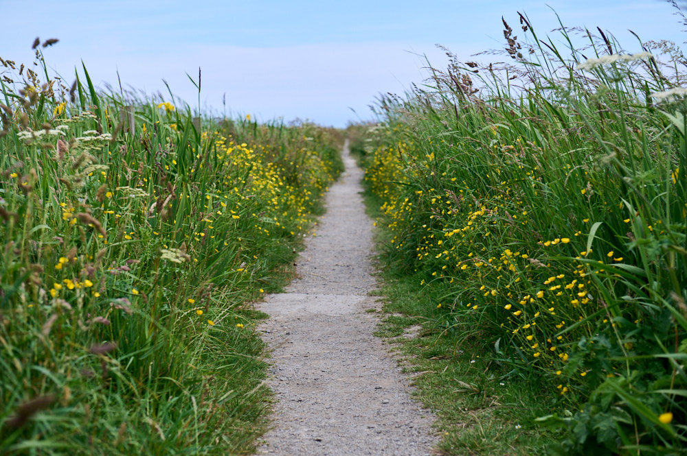
It was a sunny day, perfect for a little walk to the Broch of Deerness, or better said, another day, another broch.
It is a lovely walk along the coastline of the Deerness Peninsula right in the East of the Eastern side of Mainland Orkney.
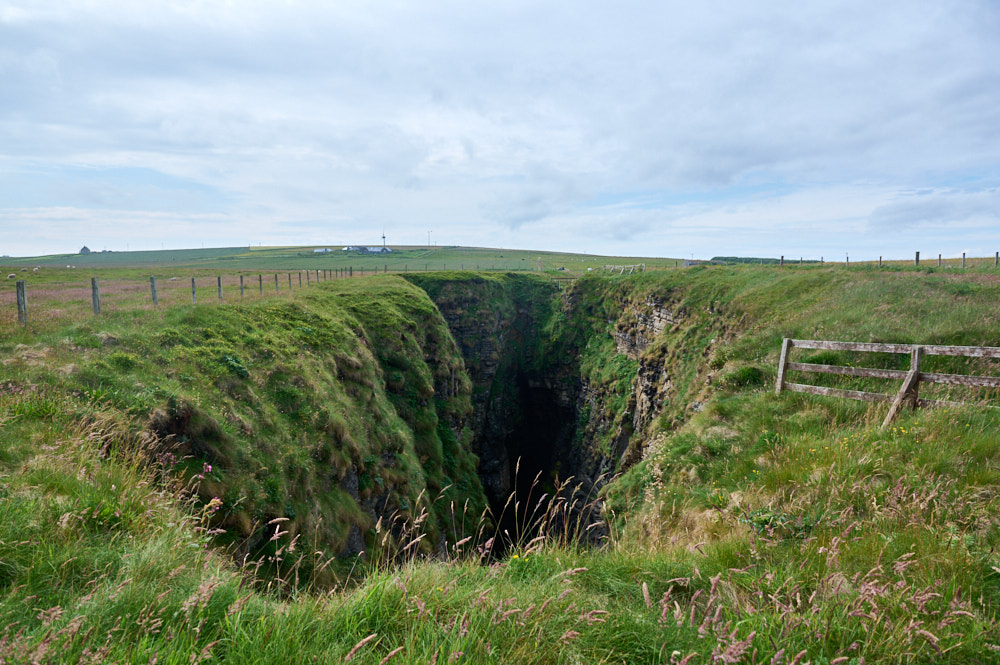
Starting at “The Gloup” – a collapsed sea cave – the walk
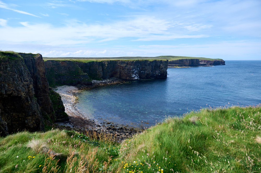
winds its way along the craggy coastline, offering beautiful views out over the North Sea, the island of Copinsay. (Orkney.com)
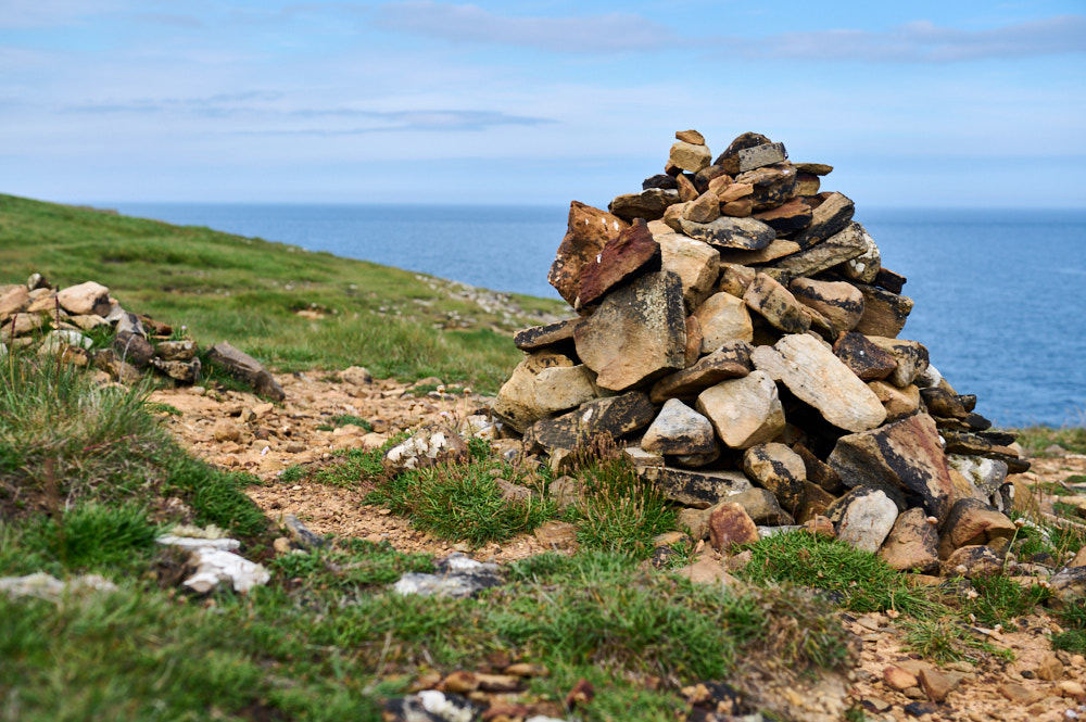
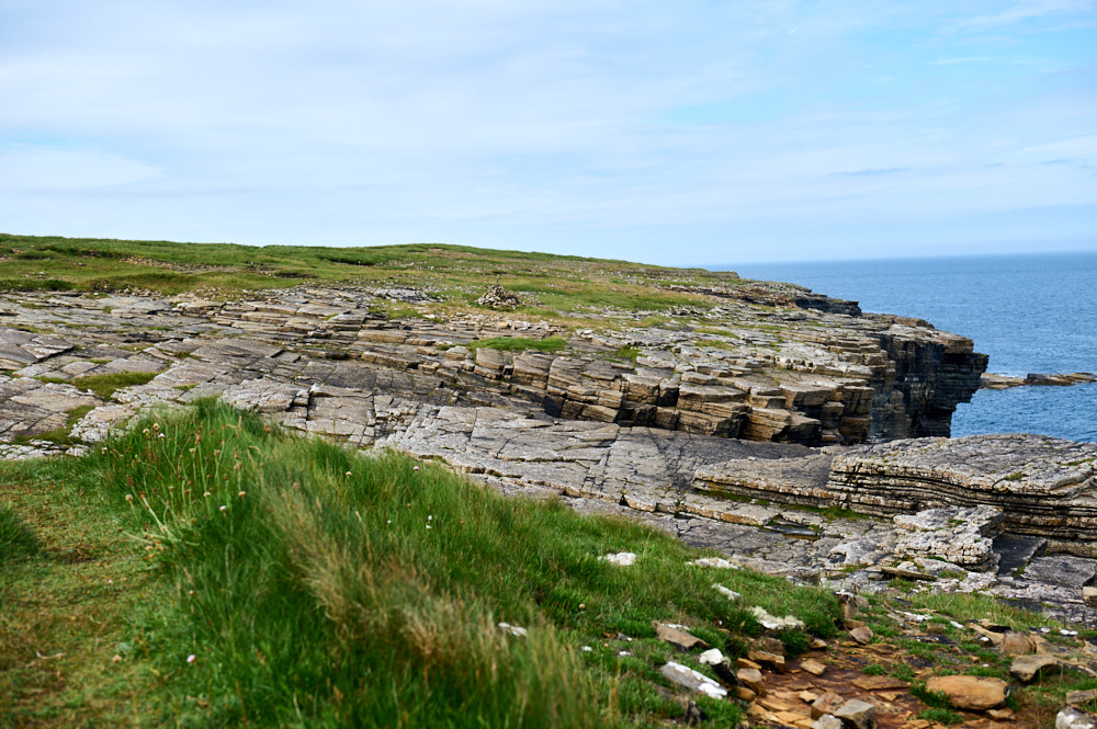
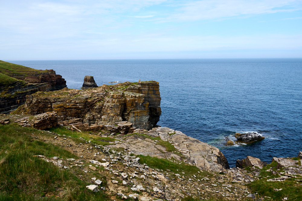
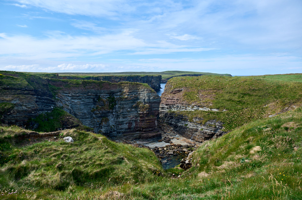
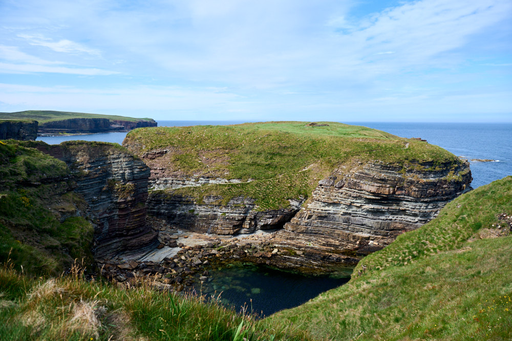
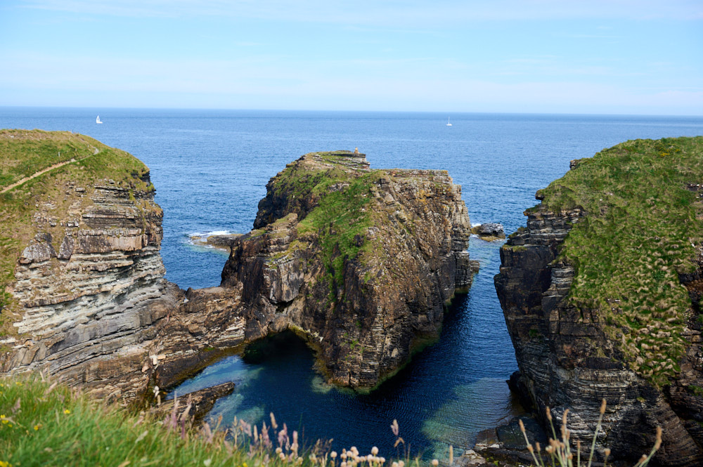
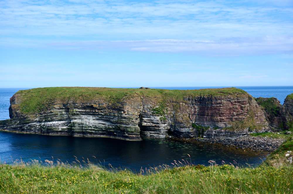
First view of the Broch – can you spot it? Today it lies on the top of a large rock stack standing detached from the nearby cliffs, with only low remnants of the narrow neck of land that once connected it to the cliffs.
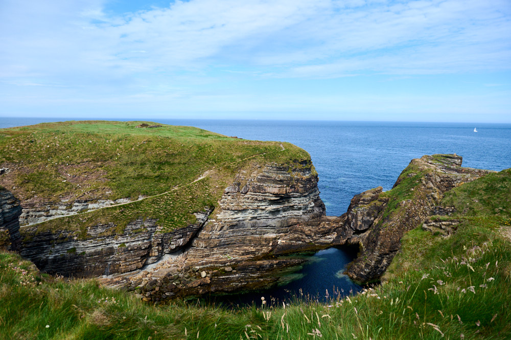
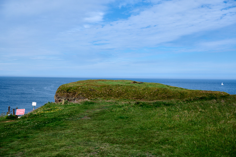
There is a (very) narrow path leading down the cliffs and then up the rock to the broch, but it was closed due to landslides.
So what exactly is the Brough of Deerness? That’s a very good question that no one has yet fully answered. Some feel it started life as an iron age clifftop fortification. Some feel the focus was as a pre-Norse Christian settlement and point as evidence to a number of circular features found in the 1930s: (Undiscovered Scotland)
Excavations in the 1970s unearthed the structure we can see today, the ruins of a chapel dating back to the pre-Norse period.
It was re-established on the same site in the Viking era, in the years around 1100, and continued in use until the 1500s and still later as a place of pilgrimage. (Undiscovered Scotland)
The Brough of Deerness is a well-preserved Viking Age settlement set atop a c. 30 m high sea stack in Orkney’s east Mainland, Scotland. The summit of the stack is crowned by the ruins of a c. tenth- to twelfth-century chapel and the earthworks of approximately 30 associated buildings. (Department of Archeology)
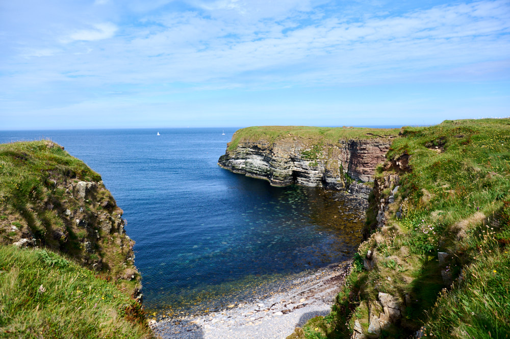
I continued my walk along the coastline for a bit before cutting back towards the start of the walk.
Leave a Reply